

You are here
Avalanche Advisory for 2015-03-06 06:59:10
- EXPIRED ON March 7, 2015 @ 6:59 amPublished on March 6, 2015 @ 6:59 am
- Issued by Jon Dove - Shasta-Trinity National Forest
Bottom Line
Avalanche danger will be LOW for all elevations and aspects. LOW avalanche danger means that unstable snow can still exist on isolated features in steep terrain. Even though human triggered avalanches are unlikely, they are still possible. Watch for small loose wet snow instabilities, roller balls, and pin wheels on steep sun exposed S-SE aspects during the warmest parts of the day. Climbers should be aware of ice fall, and "slide for life" conditions.


Avalanche Problem 1: Normal Caution
-
Character ?

-
Likelihood ?CertainVery LikelyLikelyPossible
 Unlikely
 -
Size ?HistoricVery LargeLargeSmall

Avalanche danger is LOW for all aspects and elevations. Normal precautions should be taken as avalanche activity, while unlikely, is still possible in isolated features in steep terrain. Loose wet snow instabilities, roller balls, and pinwheels are possible on south-southeast aspects during the warmest parts of the day. While usually not a hazard themselves, they could potentiall knock a person off their feet and push them into undesirable terrain. Climbers should be aware of firm and smooth snow surfaces for "slide for life" potential if one were to slip and fall. Ice fall is also a concern even during the early morning hours. Wear a helmet.
Recent Observations
Stellar corn snow conditions are back, and are primed for your enjoyment! The few inches of new snow that the mountain received from last weekend's couple of stormy days have smoothed out the snow surface on most aspects. Consecutive sunny days with gradually warming temperatures during the week have worked their melt/freeze mojo. The resulting corn snow conditions are hard to beat in terms of winter recreational bliss. The weather outlook for the coming weekend looks to have warmer than normal temperatures with sunny daytime skies. Winds will be light, 5-10 mph, and northerly in direction. Freezing levels over night will be relatively high at between 10,000 and 10,500 feet. Snow at the mountain's upper elevations, above 11,000 feet, will be softening up for good ski descents at around noon.
Observations made yesterday from a ski tour/climb with a high point above the Trinity Chutes revealed smooth corn snow that stayed consistent all the way down to tree line. The ski descent was started at a little after 2 o'clock in the afternoon and followed the Left Trinity Chute on the SSE aspect near the top of Casaval. This provided for snow that was just softening up near 13,000 feet at that time. As we skied our way down the snow conditions improved slightly and remained good for the rest of the ski. No loose wet snow instabilities were witnessed, but a few roller balls were initiated. The possibility of any loose wet snow slides will only increase as the days warm up. While not much of a hazard itself, loose wet snow slides could potentially knock a person off their feet and push them into undesirable terrain. Normal caution is advised.
For folks that plan on climbing Mt. Shasta this weekend weather conditions will be perfect. Route conditions on Casaval Ridge, Sargents Ridge, and Avalanche Gulch are ideal. That being said, there are some objective hazards to be noted. Snow surfaces will be firm and smooth in the early morning hours and will make for "slide for life" conditions should one slip and fall. Ice fall from rime ice that still partially covers the Red Banks and other rock outcroppings is happening, even in the early morning hours. A helmet, crampons, and a mountain axe are necessary equipment and should be used.
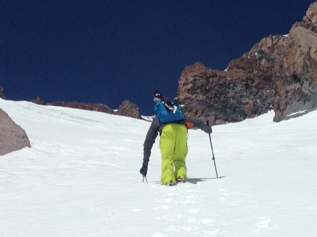
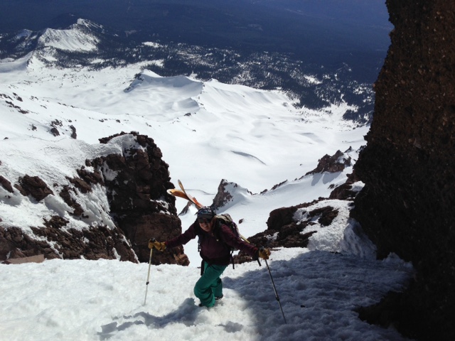
Photos below:
Top: Forrest Coots boot packing up to the Catwalk on Casaval Ridge on 3/5/2015 [Photo: Jon Dove]
Bottom: Hanne Meyers on the Catwalk, Casaval Ridge on 3/5/2015 [Photo: Jon Dove]
Castle Lake and Mt Eddy zones are still hosting shallow snowpacks. All areas below about 6,000 feet in the forecast area are hosting patchy snow with dirt showing around trees and in sunny spots.
Report your observations to the MSAC! A photo, a few words... send them in! (nimeyers@fs.fed.us or 530-926-9614)
Castle Lake area has a shallow snowpack. Skiing is out of the question at this point due to lack of snow.
Sand Flat Winter Trails: OPEN, trail conditions are firm and getting thin with some tree debris on snow surface.
Pilgrim Creek Snowmobile Park: OPEN, however due to lack of low elevation snow, one must drive up the road several miles before enough snow is encountered. One CANNOT DRIVE over Military Pass. Snowmobiling is not recommended due to low snow depths.
-------------------------------------------------------------------------------------------------------------------------------
Terrain: Remember most of the terrain that we like to play on is greater than 30 degrees. Avalanches are possible on anything steeper than 30 degrees. Avoid cornices, rock bands, terrain traps and runout zones of avalanche paths.
Weather: Most of our areas avalanche danger will occur 24-48 hours after a storm. We still can see persistent weak layers from time to time and we always will be sure to let you know about that! Heed the basic signs: Wind (significant snow transport and depositions), Temperature (rain/snow/rain/snow, which in turn weakens the snowpack), and Precipitation (Snow or rain add weight and stress to the current snowpack).
Snowpack: If snow accumulates, give the snowpack a chance to adjust to the new snow load before you play on or near steep slopes (greater than 30 degrees). Most direct action avalanches occur within 24-48 hours of recent snowfall. Watch for obvious signs of snowpack instability such as recent natural avalanche activity, collapsing of the snowpack (often associated with a “whumphing” sound), and shooting cracks. If you see these signs of instability, limit your recreation to lower angle slopes.
Human Factor: Don’t forget to carry and know how to use avalanche rescue gear. You should NOT be skiing or climbing potential avalanche slopes without having beacons, shovels, and probes. Only one person in a group should be exposed to potential avalanche danger at a time. Remember, climbing, skiing, and riding down the edge of slopes is safer than being in the center. Just because another person is on a slope doesn’t mean that it is safe. Be an individual! Make your own decisions. Heed the signs of instability: rapid warming, “whumphing” noises, shooting cracks, snowing an inch an hour or more, rain, roller balls, wind loading, recent avalanche activity.
The Five Red Flags of Avalanche Danger any time of year include: 1) Recent/current avalanche activity 2) Whumpfing sounds or shooting cracks 3) Recent/current heavy snowfall 4) Strong winds transporting snow 5) Rapid warming or rain on snow.
Weather and Current Conditions
Weather Summary
In Mt Shasta City this morning at 0500, we have mostly clear skies and a current temperature of 28 F degrees.
WEATHER STATION INFORMATION (0500hrs):
On Mt Shasta (South Side) in the last 24 hours...
Old Ski Bowl - 7,600 feet, the current temperature is 37 F. Snow on the ground totals 88 inches with 0.5 inches settlement. Temperatures in the last 24 hours have ranged from 32F to 47 F.
Gray Butte - 8,000 feet, The current temperature is 37 F and temps have ranged from 35 F to 47 F in the last 24 hours. Winds have been variable in direction, 5-15 mph with max gusts to 21 mph.
Castle Lake and Mt Eddy (West side of Interstate-5)...
Castle Lake - 5,600 feet, the current temperature is 41 F. Temps have ranged from 36 F to 59 F in the last 24 hours. The Castle Lake area has only patchy snow on the ground, 8-9 inches.
Mt Eddy - 6,500 feet, the current temperature is 33 F. Temps have ranged from 29 F to 47F in the last 24 hours. Current snow depth is 29 inches with no settlement. Winds have averaged 3 mph WSW, with gusts to 9 mph, East
WEATHER SYNOPSIS: A high pressure ridge has moved back into the region and will be the directive force for this weekends weather. The daytime high temperatures will be well above normal today and Saturday with sunny skies. Winds will be light and variable at all elevations, and northerly in direction for today and Saturday.
THIS SEASON: Since October 1st (the wet season) , we have received 30.16 inches of water, normal is 30.77 inches, putting us at 98% of normal. For the month of March, we sit at 0.00 inches of water, normal is 1.27, putting us at 0% of normal. For the year of 2015, we've received 10.64 inches water, normal is 15.56, equalling 68% of normal.
Looking back into 2014, Mt Shasta finished off with 34.36 inches of water with normal being 43.21 inches, leaving us at 79% of normal for the year. For the month of December, Mt Shasta finished at 163% of normal, receiving 12.83 inches of water, normal is 7.85 inches.
Always check the weather before you attempt to climb Mt Shasta. Further, monitor the weather as you climb. Becoming caught on the mountain in any type of weather can compromise life and limb. Be prepared.
| 0600 temperature: | 37 |
| Max. temperature in the last 24 hours: | 47 |
| Average wind direction during the last 24 hours: | Variable |
| Average wind speed during the last 24 hours: | 8 mi/hr |
| Maximum wind gust in the last 24 hours: | 21 mi/hr |
| New snowfall in the last 24 hours: | 0 inches |
| Total snow depth: | 88 inches |
Two Day Mountain Weather Forecast
Produced in partnership with the Medford NWS
| For 7000 ft to 9000 ft | |||
|---|---|---|---|
|
Friday (4 a.m. to 10 p.m.) |
Friday Night (10 p.m. to 4 a.m.) |
Saturday (4 a.m. to 10 p.m.) |
|
| Weather | Sunny | Mostly Clear | Sunny |
| Temperature (°F) | 58 | 42 | 60 |
| Wind (mi/hr) | East Around 5 mph | Northeast 5-10 mph | Northeast 5-10 mph |
| Precipitation SWE / Snowfall (in) | / 0 | / 0 | / 0 |
| For 9000 ft to 11000 ft | |||
| Friday | Friday Night | Saturday | |
| Weather | Sunny | Mostly Clear | Sunny |
| Temperature (°F) | 43 | 33 | 48 |
| Wind (mi/hr) | Southwest Around 5 mph | Northwest 0 | Northerly 5-10 mph |
| Precipitation SWE / Snowfall (in) | / 0 | / 0 | / 0 |

