You are here
04-29-2017-Hotlum Glacier
General Conditions
This trailhead (Northgate) is still CLOSED. You can still access the Mt Shasta Wilderness from the trailhead, however summit passes and wilderness permits must be acquired from either McCloud or Mt Shasta Ranger Stations. The bathrooms are open and human waste packout bags are available inside. Travel at your own risk. Late winter storms can easily bring ample snow and make your hasty retreat challenging! This will limit vehicle access to the trail head, as well. Usually, several miles of snow covered roads must be traveled before reaching the trailhead proper.
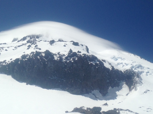
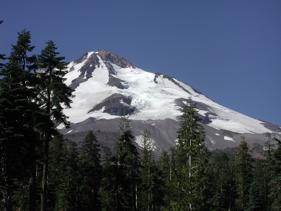
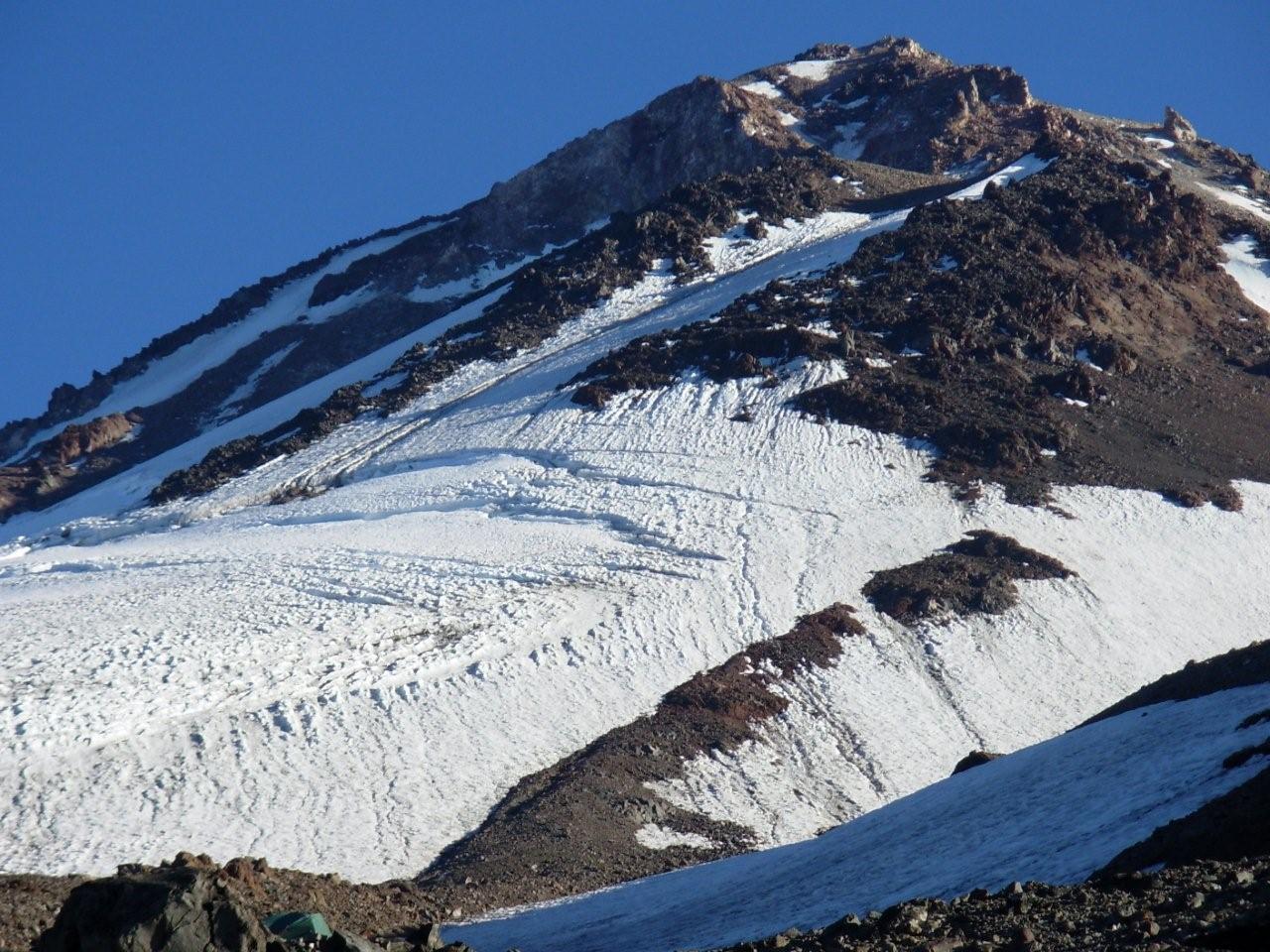
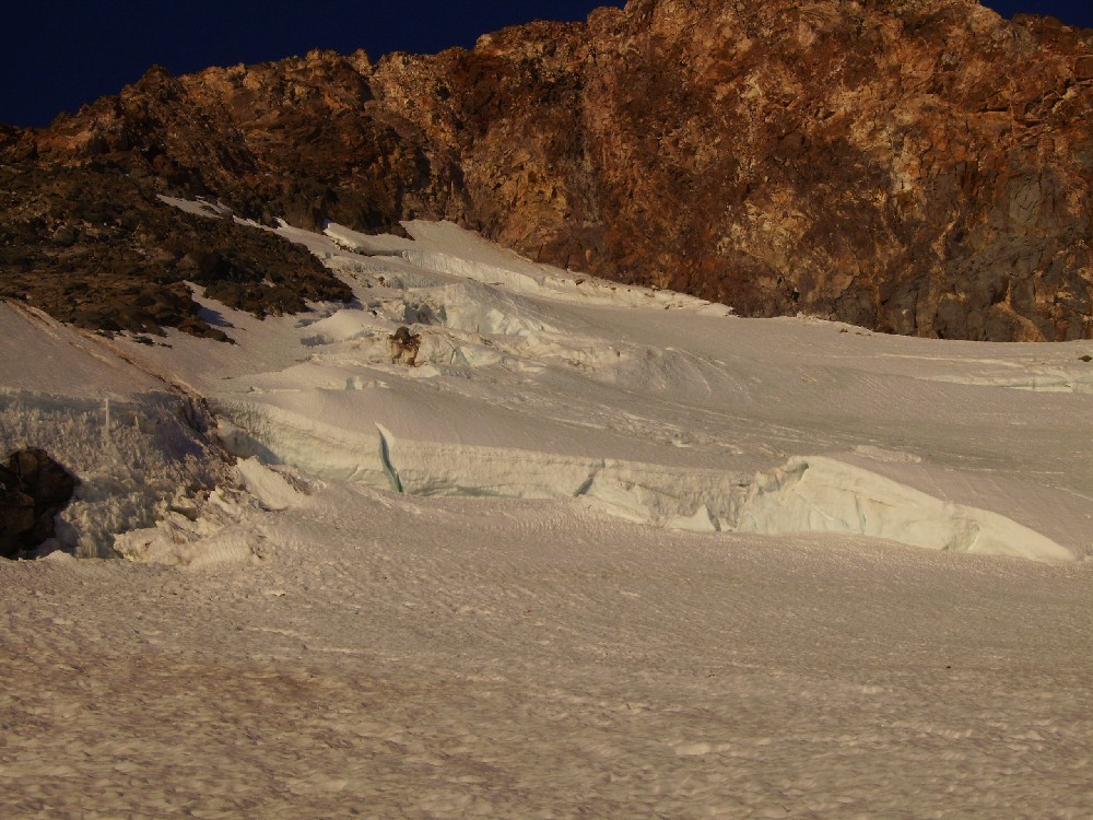
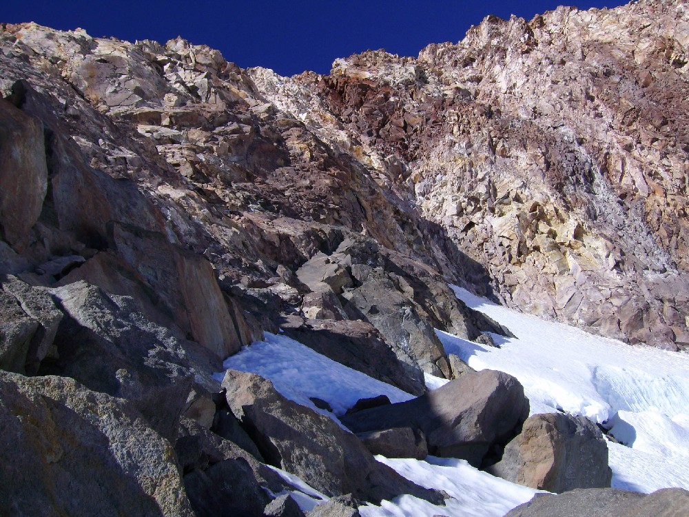
The glacier is caked with snow and looking great. Northwest winds howl over here and can keep exposed ridgelines scoured. Be careful where the glacier begins below the Hotlum Headwall. Rocks constantly peel off this prominent rock face. The route up the glacier can take many variations depending on how involved you want to get, and/or the location of crevasse features, the condition of the three ice falls, etc. Plan on melting snow but water can be found at times, usually later winter/spring or during warmer periods. Full glacier travel protocol and skills are necessary to consider this route.
You have two options to get around the Hotlum Headwall rock face: right or left. The right route has a few variations but most follow the Hotlum/Bolam Ridge route from "The Step" to the summit. If you go left around the headwall, most join the Hotlum/Wintun Snowfield route. Yes, some have climbed the rock face as well, but it is a death wish. It's very loose, poorly protected and not worth it!
Many camp at what we call the Hotlum Hilton. (41N 25 22 x 122W 10 13 - 10,000 feet) Many of the guided groups stay here as well, so perhaps another campsite nearby is better. In that general area, there are a lot of options without camping on top of each other.
Most approach this route from the Brewer Creek trailhead.