You are here
Avalanche in Old Ski Bowl

Location Name:
Avalanche in Old Ski BowlRegion:
Mt. ShastaDate and time of avalanche (best estimate if unknown):
Sat, 03/25/2017 - 7:30pmObservation made by:
ForecasterRed Flags:
Recent loading by new snow, wind, or rain
Rapid warming
Location Map
United States
41° 21' 58.6224" N, 122° 12' 23.1012" W
See map: Google Maps
US
Avalanche Observations
Details
Characteristics
Avalanche Type:
WetSlabTrigger type:
SnowmobilerSlope:
38degreesAspect:
EastElevation:
8 000ft.Terrain:
Near TreelineWeak Layer:
Storm SnowBed Surface:
Storm SnowCrown Height:
Less than 1 ftAvalanche Width:
75ft.Avalanche Length:
250ft.Number of people caught:
0Number of partial burials:
0Number of full burials:
0Weather Observations
Details
Clear, low level clouds, full sun for most of the day. Winds were light. This aspect is sheltered and gets full sun for a good portion of the day.
Statistics
Cloud Cover:
25% of the sky covered by cloudsBlowing Snow:
NoPrecipitation:
NoneAccumulation rate:
NoneAir temperature:
Below FreezingAir temperature trend:
StaticWind Speed:
CalmWind Direction:
Southwest


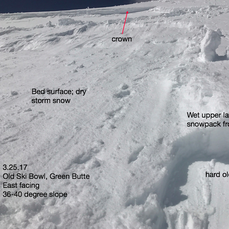
I came across this avalanche just after it happened. This easterly aspect of Green Butte, off the shoulder of Powder Bowl, is a frequent flyer for all types of avalanches. Yesterday we noted wet storm slabs as possible and this is exactly what occurred. Our upside down snowpack layering, with heavy wet snow on top of lighter density snow, was the cause for this human triggered avalanche early in the afternoon. The top, wet layers of the new snow "greased" off and slid within the lighter density snow layers above the old snow surface. Nobody was caught or injured.
Also included in pictures was a day or two old wind slab avalanche off north aspect of Green Butte.