You are here
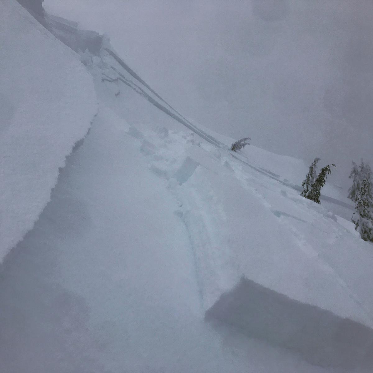
Easily triggered cornices and avalanche on Gray Butte
Location Name:
Gray ButteRegion:
Mt. ShastaDate and time of avalanche (best estimate if unknown):
Thu, 01/17/2019 - 3:00pmObservation made by:
ForecasterRed Flags:
Whumphing noises, shooting cracks, or collapsing
Recent loading by new snow, wind, or rain
Obvious avalanche path
Terrain Trap
Location Map
96067
Mount Shasta
, CA
United States
41° 20' 57.0012" N, 122° 11' 32.4996" W
See map: Google Maps
California US
Avalanche Observations
Details
Photos
Characteristics
Avalanche Type:
WetTrigger type:
SkierSlope:
39degreesAspect:
NortheastElevation:
7 950ft.Terrain:
Near TreelineWeak Layer:
Storm SnowBed Surface:
Storm SnowCrown Height:
1 ftAvalanche Width:
300ft.Avalanche Length:
600ft.Number of people caught:
0Number of partial burials:
0Number of full burials:
0Weather Observations
Details
- Light winds, albeit gusty out of the W/SW near and above treeline
- Precipitation light, persistent, though little accumulation during the day
- Sky obscured all day, very poor visibility.
Statistics
Cloud Cover:
100% of the sky covered by cloudsBlowing Snow:
YesPrecipitation:
SnowAccumulation rate:
Less than 1 in. per hourAir temperature:
Below FreezingAir temperature trend:
StaticWind Speed:
LightWind Direction:
Southwest


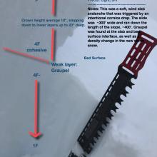
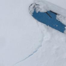
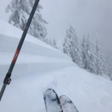
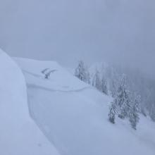
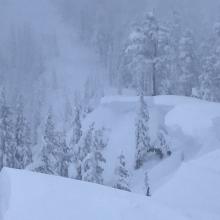


This avalanche was triggered by an intentional kick near a cornice feature. A large section of overhanging snow cracked off and landed on the slope below, triggering the avalanche. Nobody was caught. This slide was big enough to bury, injure or kill a person. The crown was 10 to 20 inches deep and ~300 feet wide, running the distance of the slope through sparse trees. The starting zone is 39 degrees and east/northeast facing. Effects of wind loading were not obvious during the tour leading up to. That said, looking at Gray Butte weather station winds over the storm period (0500 on January 15th to 1800 on January 17th), wind speeds averaged 14 mi/hr with gust average 26 mi/hr. The wind was mostly south with periods of southeast and southwest. These overall light to moderate winds along with a warm storm created for good cornice formation and cross loading of this slope and ridgeline.
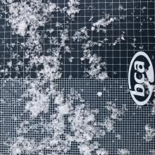
The bed surface/weak layer occurred at a 4F to 1F density change ~10 to 20 inches below the surface. Primary grain types was graupel and needles.
Visibility was poor, wind was light and gusty out of the W/SW, precipitation was light, S-1
Height of new storm snow for the period January 15th through 17th: 32 to 36 inches / Drifts to 60 inches
Total height of snow at location: 84 inches