You are here
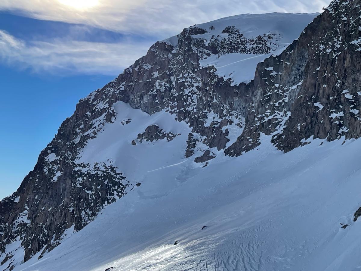
Green Butte Wind Slab Avalanche
Location Name:
Green ButteRegion:
Mt. ShastaDate and time of avalanche (best estimate if unknown):
Tue, 01/04/2022 - 2:00pmObservation made by:
ForecasterRed Flags:
Recent loading by new snow, wind, or rain
Obvious avalanche path
Location Map
96067
Mount Shasta
, CA
United States
41° 22' 16.41" N, 122° 12' 21.5748" W
See map: Google Maps
California US
Avalanche Observations
Details
Photos
Characteristics
Avalanche Type:
SlabTrigger type:
NaturalSlope:
40degreesAspect:
EastElevation:
9 000ft.Terrain:
Above TreelineWeak Layer:
Storm SnowBed Surface:
Old SnowCrown Height:
2 ftAvalanche Width:
200ft.Avalanche Length:
600ft.Number of similar avalanches:
1Number of people caught:
0Number of partial burials:
0Number of full burials:
0Weather Observations
Details
First day with good visibility all week. Mostly clear, low clouds and fog. Westerly wind was moderate. Temps on Gray Butte (8,000 feet) maxed out at 34.5 degrees F over the past 24 hours (as of 1.6.22 at 6pm), cooling slightly since yesterday.
Statistics
Cloud Cover:
ClearBlowing Snow:
NoPrecipitation:
NoneAccumulation rate:
NoneAir temperature:
Above FreezingAir temperature trend:
CoolingWind Speed:
ModerateWind Direction:
West



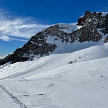


A couple wind slabs that appeared to be triggered by a cornice failure. It is unknown when it occurred, though likely before the moist warming event this week, as the debris had an icy glaze to it. This is also the avalanche that was observed yesterday by a skier, not a new avalanche. Today was the first day of good visibility this week.
DATA CODE: