You are here
Large Avalanche on Left Peak, Castle Lake

Location Name:
Left Peak, Castle LakeRegion:
Castle LakeDate and time of avalanche (best estimate if unknown):
Wed, 02/27/2019 - 1:30amObservation made by:
ForecasterRed Flags:
Recent avalanche activity
Location Map
United States
41° 13' 40.6452" N, 122° 22' 36.7608" W
See map: Google Maps
US
Avalanche Observations
Details
Characteristics
Avalanche Type:
SlabTrigger type:
NaturalSlope:
38degreesAspect:
WestElevation:
5 900ft.Terrain:
Near TreelineWeak Layer:
Other - explain belowBed Surface:
Other - explain belowCrown Height:
8 ftAvalanche Width:
1 000ft.Avalanche Length:
500ft.Number of similar avalanches:
1Weather Observations
Statistics
Cloud Cover:
50% of the sky covered by cloudsBlowing Snow:
NoPrecipitation:
NoneAir temperature:
Below FreezingAir temperature trend:
WarmingWind Speed:
Calm


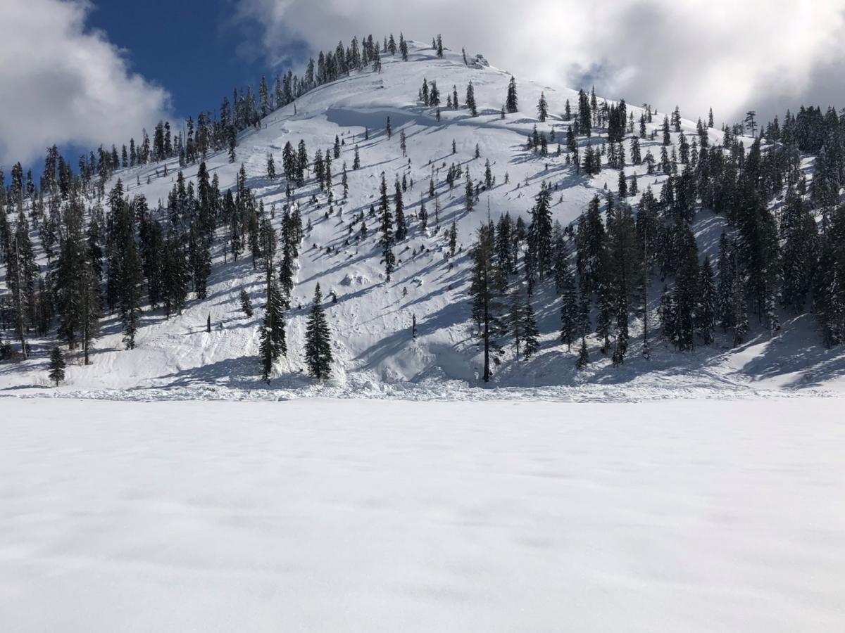
The remains of a D3 avalanche was observed on the west side of Left Peak near Castle Lake today. The slide was large enough to break some trees and the ice on Castle Lake. This avalanche likely released on the morning of Wednesday, Febuary 27th. It failed above the Febuary 13th rain crust with a crown that is up to 8 feet high and 1000 feet wide. Elevation of the start zone is 5,900 feet and it ran 500 vertical feet to the lake. A second slide was also observed on north west aspect likely releasing at the same time or sympathetically. The crown is outlined in red on the picture below.
The average slope angle is 28 degrees with a max incline of 39 degrees.
Avalanche Classification Code: HS-NS-R4-D3
Path Description: Path Characteristics: