You are here
Propagating extended column tests and recent avalanche

Location Name:
Gray ButteRegion:
Mt. ShastaDate and time of avalanche (best estimate if unknown):
Wed, 03/06/2019 - 3:45amObservation made by:
ForecasterRed Flags:
Recent avalanche activity
Whumphing noises, shooting cracks, or collapsing
Recent loading by new snow, wind, or rain
Location Map
96067
Mount Shasta
, CA
United States
41° 20' 54.2868" N, 122° 11' 34.0836" W
See map: Google Maps
California US
Avalanche Observations
Details
Characteristics
Avalanche Type:
SlabTrigger type:
Other - explain belowSlope:
38degreesAspect:
EastElevation:
8 000ft.Terrain:
Near TreelineWeak Layer:
Storm SnowBed Surface:
Storm SnowCrown Height:
1 ftAvalanche Width:
150ft.Avalanche Length:
400ft.Number of people caught:
0Number of partial burials:
0Number of full burials:
0Weather Observations
Details
Sky: Obscured, foggy
Precip: less than 1in/hour during tour, but prior snow amounts up to 15 inches in last 24 hours, heavy/wet
Wind: south to west, moderate, gusty. Most new snow too heavy for wind transport
Statistics
Cloud Cover:
100% of the sky covered by cloudsPrecipitation:
SnowAccumulation rate:
Less than 1 in. per hourAir temperature:
Below FreezingAir temperature trend:
CoolingWind Speed:
ModerateWind Direction:
West


March 6, 2019 - Gray Butte
Today started off with heavy at times rain and snow. Snow levels fluctuated around 6,000 feet. In the afternoon, precipitation continued, although showery in nature. A few very brief sections of blue sky occurred, but were very short lived. Temperatures were in the mid-twenties, but the air felt warmer and like a "greenhouse" effect. Trees began to off-load heavy snow.
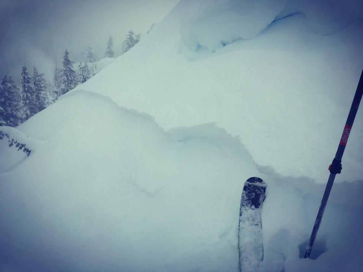
The bottom line out there today was an upside down snowpack. Above 7,000 feet, new snow, 12-15 inches deep sits on top of a widespread, thick crust layer. New snow is moist on top with dryer snow below. Fully propagating extended column tests were easily produced on all southerly and easterly aspects, near and above treeline. Whoomfing and shooting cracks were observed on the skin up and along ridgelines. On top of Gray Butte, an intentional cornice drop onto an easterly slope (8,000 feet) produced the avalanche in the featured image. This D2 storm slab was about 150 feet wide and ran to the bottom of the slope through sparse trees.