You are here
West Face Gray Butte Avalanche
Location Name:
West Face Gray Butte AvalancheRegion:
Mt. ShastaDate and time of avalanche (best estimate if unknown):
Sun, 12/11/2022 - 2:30pmObservation made by:
ForecasterRed Flags:
Recent avalanche activity
Recent loading by new snow, wind, or rain
Obvious avalanche path
Terrain Trap
Location Map
96067
Mount Shasta
, CA
United States
41° 20' 56.0508" N, 122° 11' 44.7828" W
See map: Google Maps
California US
Avalanche Observations
Details
Photos
Videos
Characteristics
Avalanche Type:
SlabTrigger type:
SkierSlope:
38degreesAspect:
WestElevation:
7 800ft.Terrain:
Near TreelineWeak Layer:
Storm SnowBed Surface:
Old SnowCrown Height:
2 ftAvalanche Width:
60ft.Avalanche Length:
500ft.Number of similar avalanches:
1Number of people caught:
0Number of partial burials:
0Number of full burials:
0Weather Observations
Details
Today was nearly precipitation free, although a few flakes fell from the sky. Old Ski Bowl recorded .09" of SWE with a trace of accumulation. Low clouds and fog came and went. The sun broke through at times. Wind calm.
Statistics
Cloud Cover:
25% of the sky covered by cloudsBlowing Snow:
NoPrecipitation:
SnowAccumulation rate:
NoneAir temperature:
Above FreezingAir temperature trend:
CoolingWind Speed:
Calm



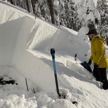
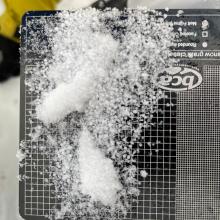
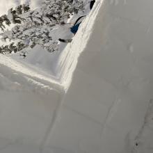
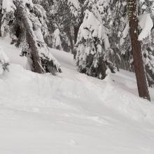
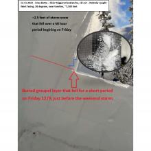
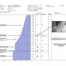


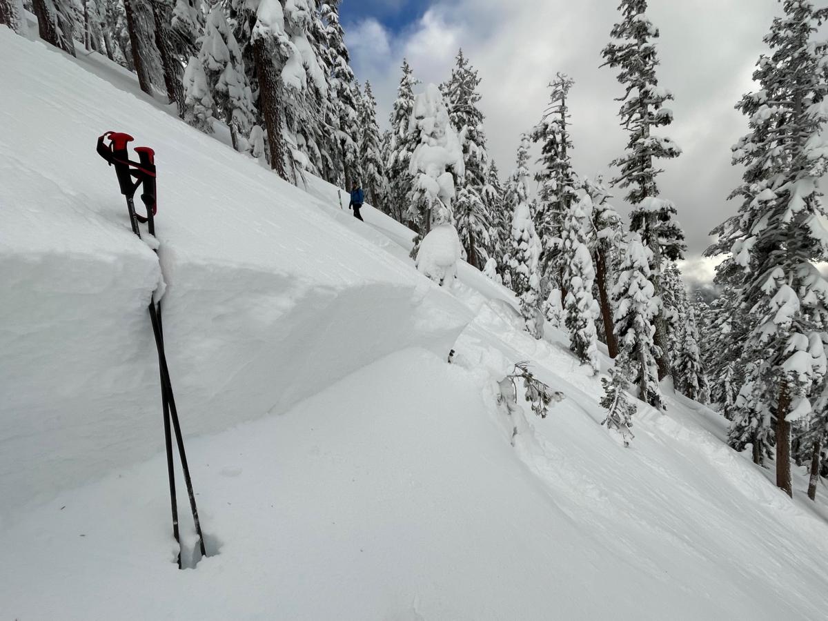
Gray Butte - West Face - Sparse trees near treeline, 7,800 feet, 38 degrees: An intentional ski cut along the convexity of this avalanche path resulted in a good size slide around 2:30pm. The crown was ~2-2.5 feet deep, 60 feet wide and ran ~500 feet into denser forest. Nobody was caught. A brief period of graupel fell on top of the snowpack Friday December 9th, just before the weekend storm. Approximately 2-2.5 feet of fresh snow fell on top of this graupel layer over a 40-hour between Saturday December 10 to Sunday December 11. The slab failed on this weak layer of graupel. This is the same layer where the avalanche on Coyote Butte yesterday morning failed, 12.10.22.
Avalanche Code: SS-ASc-R3-D2-I
DATA CODE: