You are here
Grey Butte

Location Name:
Grey ButteRegion:
Mt. ShastaDate and time of observation:
Fri, 02/17/2017 - 11:00pmObservation made by:
Professional ObserverRed Flags:
Recent avalanche activity
Whumphing noises, shooting cracks, or collapsing
Recent loading by new snow, wind, or rain
Location Map
United States
41° 20' 42.5472" N, 122° 11' 45.8052" W
See map: Google Maps
US
Weather Observations
Statistics
Cloud Cover:
100% of the sky covered by cloudsBlowing Snow:
YesPrecipitation:
SnowAccumulation rate:
Greater than 1 in. per hourAir temperature:
Below FreezingAir temperature trend:
StaticWind Speed:
ModerateWind Direction:
East


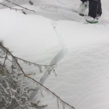
What a glorious day for an avalanche observer! Red flags galore. Shooting cracks, significant wind loading, 20 inches of new snow, and a ski triggered avalanche!
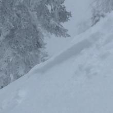
A tour of Grey Butte saw moderate to strong east winds, 35 - 54 cm (14 - 22 in) of new snow from the storms starting on 2/15 with significant windloading on westerly aspects. 2' wind drifts on Coyote Butte were seen forming in less than an hour. Shooting cracks and small, easily triggered windslabs were observed in wind effected areas. A 1 - 1.5 sized avalanche with a 3-5 in crown was easily ski-triggered on a steep westerly slope on the skier's left most chute of Grey Butte. Avalanche was a soft wind slab sliding on a density break in the new snow running out to around 200'.
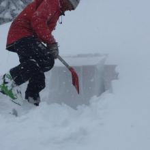
Snow pit stability tests conducted at 7800' around 2:30 p.m. on a westerly aspect, sheltered from the wind, yielded no concerning results in the new storm snow. ECTN4 @ 13 cm BKN, ECTN12 @25 cm BKN, ECTN. New snow was right side up and well bonded with the old snow rain crust. New snow depth at this location was 50 cm. Wind slab problem was the main observed concern. Ski penetration: 22 cm, boot penetration: 50cm. Precipitation rate was around 1 in / hour.