You are here

New storm snow: Obs from South Side of Mount Shasta
Location Name: 
New storm snow: Obs from South Side of Mount Shasta
Region: 
Mt. Shasta
Date and time of observation: 
Thu, 01/18/2018 - 10:30pm
Observation made by: 
Forecaster
Red Flags:
Recent loading by new snow, wind, or rain

Location Map

96067 Mount Shasta , CA
United States
41° 21' 58.2696" N, 122° 12' 14.6016" W
California US

Snowpack Observations

Details

20180118 - 1400 hrs

Bunny Flat - 6,950 ft

Sky: X - Obscured

Precip: SN / S-1

Wind: C

HST: 15 cm / 6 in

Snow level: 5,600 ft

------------------------------------------------

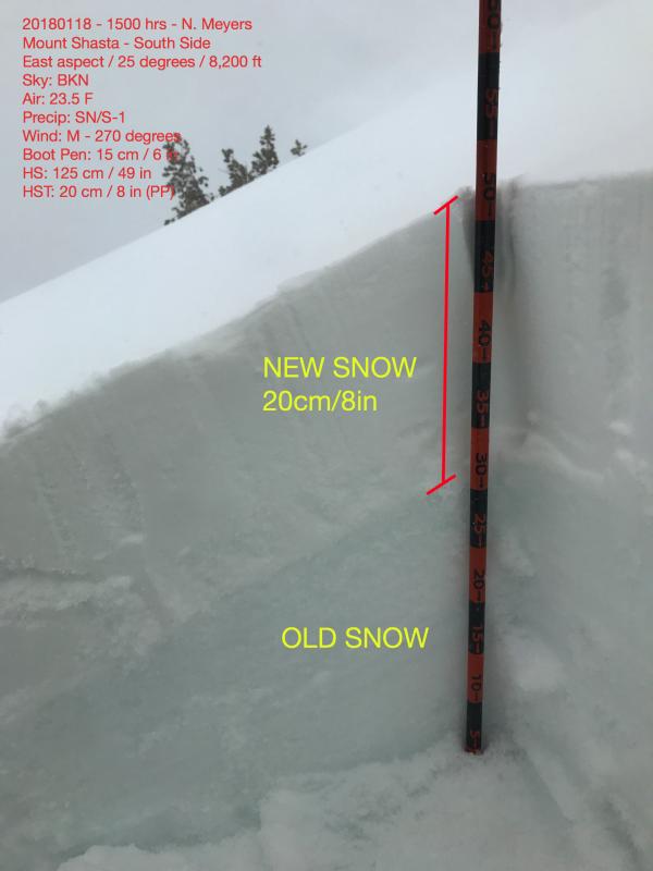
(See illustrated photo for 8,200 ft snow/weather observation)

------------------------------------------------

NOTES:

  • A chilly day with a nice dose of new snow.
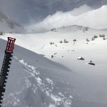
  • Observed 6 inches of new snow at Bunny Flat and 8-12 inches above 8,000 ft.
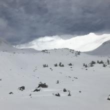
  • New snow was uniform in distribution below 8,500 ft, transitional to 9,000 ft and uneven above. Existing icy snow surfaces were observed on exposed SW-W-NW facing moraine tops and ridgelines.  Ice patches were rock hard and severely scoured. 
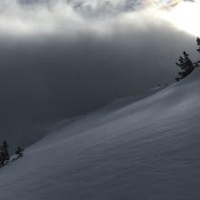
  • The wind (westerly) was absolutely howling above 9,000 ft. It sounded like a freight train from lower elevations. During a few brief donut holes in the clouds, extreme wind transport was visible on the upper mountain. Below and near treeline, wind speeds were calm to moderate.
  • Above treeline, wind loading was evident on all NE-E-SE aspects with drifts up to 35 cm / 13 in deep. Some drifts are likely deeper.
  • Evidence of the wind slab problem was minimal below and near treeline, with poor slab characteristics. 
  • Above treeline, wind loading was widespread. Slab characteristics were better. Still, stability tests could not produce any notable results within new snow at 8,200 ft pit location.
  • No recent avalanches were observed. Visibility was limited to just a few minutes here and there, in and out of the clouds.
  • Bonding at new/old snow interface was very good.
  • Many obstacles (mainly rocks) now buried and lurk beneath snow surface. This will be a serious hazard for the near future.

Photos

Weather Observations

Details

  • Sky obscured for most of the day with a few brief donut hole clearings
  • Westerly winds gale force above 9,000 feet
  • Winds light to moderate below and near treeline
  • Light snow for first half of the day
  • Chilly, 23.5 degrees F at 8,200 ft in afternoon

Statistics

Cloud Cover: 
75% of the sky covered by clouds
Blowing Snow: 
Yes
Precipitation: 
Snow
Accumulation rate: 
Less than 1 in. per hour
Air temperature: 
Below Freezing
Air temperature trend: 
Cooling
Wind Speed: 
Strong
Wind Direction: 
West