You are here
East side of Coyote Butte

Location Name:
East Side of Coyote Butte, adjacent to the Ski ParkRegion:
Mt. ShastaDate and time of observation:
Thu, 03/01/2018 - 6:30pmObservation made by:
PublicRed Flags:
Recent loading by new snow, wind, or rain
Obvious avalanche path
Terrain Trap
Location Map
96067
Mount Shasta
, CA
United States
41° 20' 3.2604" N, 122° 11' 39.2496" W
See map: Google Maps
California US
Snowpack Observations
Details
Weather Observations
Details
Variable snow accumulation overnight of between 12 to 24 inches throughout the ski area.
Statistics
Cloud Cover:
100% of the sky covered by cloudsBlowing Snow:
YesPrecipitation:
SnowAccumulation rate:
Less than 1 in. per hourAir temperature:
Above FreezingAir temperature trend:
CoolingWind Speed:
StrongWind Direction:
Southwest


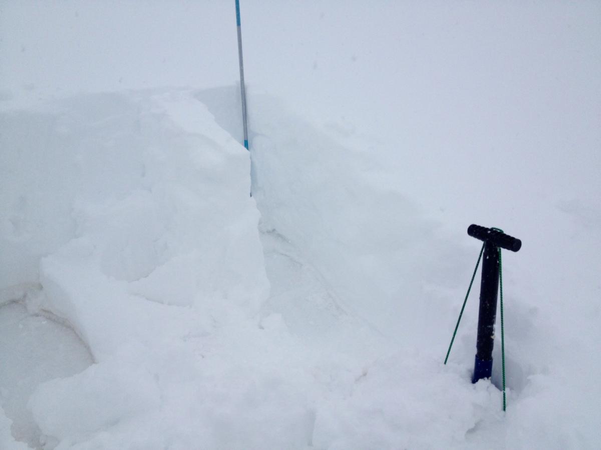
Moderate slope, near the main area of concern on the E side of Coyote. Quick pit: ~60 cm of new wind deposited / fallen snow on top of hard ice layer (remaining from last storms) which was coated in dust. Could not dig through it, but the estimated depth of that to ground is approximately 1 foot. CT9Q3 at approximately 30 cm. The remaining snow sheared relativey easily on the bed surface. ECTN10Q3 with the same fracture character. Winds were from the W-SW at 15 to approx 45. Significant snow transport and cornice development on the E aspect. Snow surface noticibly slabby to about 8 cm on wind effected areas. Temp 25 F. The skiable areas were heavy and brushy. Wait for the weekend!