You are here
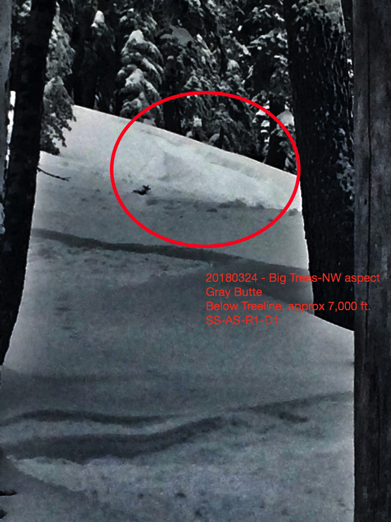
Small storm slab triggered on Gray Butte

Location Name:
Gray ButteRegion:
Mt. ShastaDate and time of avalanche (best estimate if unknown):
Sat, 03/24/2018 - 7:30pmObservation made by:
PublicRed Flags:
Recent loading by new snow, wind, or rain
Location Map
96067
Mount Shasta
, CA
United States
41° 20' 59.4528" N, 122° 11' 41.6796" W
See map: Google Maps
California US
Avalanche Observations
Details
Characteristics
Avalanche Type:
SlabTrigger type:
SkierSlope:
37degreesAspect:
NorthwestElevation:
7 000ft.Terrain:
Below TreelineWeak Layer:
Storm SnowBed Surface:
Old SnowCrown Height:
Less than 1 ftAvalanche Width:
15ft.Avalanche Length:
25ft.Number of people caught:
0Number of partial burials:
0Number of full burials:
0Weather Observations
Details
Cloudy skies and calm winds. Visibility was limited at times, though the mountain popped out for a short bit.
Statistics
Cloud Cover:
50% of the sky covered by cloudsBlowing Snow:
NoPrecipitation:
NoneAccumulation rate:
NoneAir temperature:
Below FreezingAir temperature trend:
StaticWind Speed:
CalmWind Direction:
Southwest


My ski partner triggered this small storm slab near the bottom the the "Big Trees" run on the northwest side of Gray Butte, at about 7,000 feet. This slide was harmless, but failed within the new storm snow. We didn't investigate further. Sorry for the crummy picture.