You are here
Green Butte
Location Name:
Green Butte RidgeRegion:
Mt. ShastaDate and time of observation:
Sat, 12/28/2019 - 3:30pmObservation made by:
ForecasterLocation Map
96067
Mount Shasta
, CA
United States
41° 22' 8.6916" N, 122° 12' 43.8228" W
See map: Google Maps
California US
Weather Observations
Statistics
Cloud Cover:
50% of the sky covered by cloudsBlowing Snow:
NoPrecipitation:
NoneAccumulation rate:
NoneAir temperature:
Below FreezingAir temperature trend:
WarmingWind Speed:
StrongWind Direction:
Southeast




20191217 - 1500 hrs - Sorenson - Green Butte
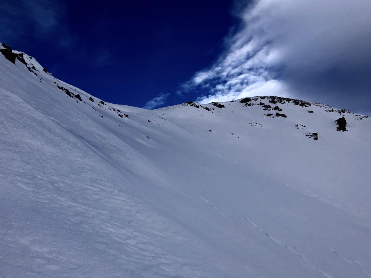
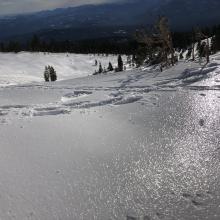
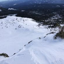
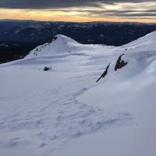
Notes: A strong, northwest wind event that started early Friday (12/27) morning has transformed the snowpack near and above treeline on Mount Shasta. Open areas are scoured down to the December 19th ice crust throughout above treeline terrain on Green Butte. Patches of wind packed stastrugi snow remain in more protected areas. No cracking or signs of instability were observed.
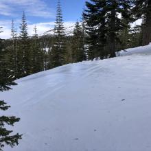
A thin wind crust over loose powdery snow 6-10 inches deep all above the Dec 19th rain layer can be found in protected areas below treeline. This snow was quickly transitioning due to warming temperatures.
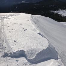
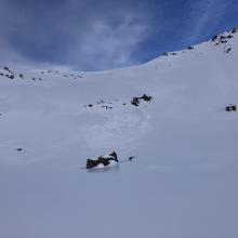
The remains of a natural triggered wind slab avalanche was observed in Powder Bowl on a south east aspect at 9,000 feet. Judging by the debris pile the avalanche was D1 to D1.5 in size. The wind has completely stripped the starting zone and only the largest blocks of debris remain (see photo below).