You are here

West Fork Parks Creek persistent layer observation
Location Name: 
West Fork Parks Creek persistent layer observation
Region: 
Mt. Shasta
Date and time of observation: 
Sat, 01/18/2020 - 1:00pm
Observation made by: 
Forecaster
Red Flags:
Rapid warming

Location Map

96067 Mount Shasta , CA
United States
41° 24' 45.6156" N, 122° 33' 9.1476" W
California US

Snowpack Observations

Details

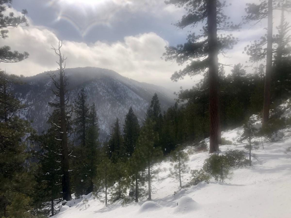
Observation near West Fork Parks Creek:

  • TIME: 20200118 - 13:00
  • ASPECT: North 350°
  • ELEVATION: 6,400 ft
  • SKY: Broken (BKN) cleared after 1300 hours
  • PRECIPITATION: Light rain shower at 1215 hours
  • BLOWING SNOW: Previous
  • TEMPERATURE: 34°F
  • BOOT / SKI PENETRATION: 50 cm (23 in) , 13 inches (ski) (35 cm)
  • HEIGHT OF SNOW (HS): 43 inches (110 cm) 
  • HEIGHT OF NEW SNOW: (HN): 19 inches (48cm)
  • WIND: Calm, light southeast wind on ridgeline a steady 5-10 mph
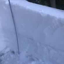
  • COLUMN & BLOCK TESTS: CT12 SP down 49 cm, ECTX, PST 20/100
The goal of this tour was to gather information about a persistent weak layer buried by the recent storm. This layer was recognized on north facing terrain near 6,400 feet and column and block tests show it may remain reactive. A warming and consolidating upper snow pack points towards a decreasing likelihood of triggering. This means it is very unlikely to trigger a large avalanche on this deep persistent layer. The only potential increased hazard is if we have another major loading event. 

Photos

Videos

Weather Observations

Statistics

Cloud Cover: 
50% of the sky covered by clouds
Blowing Snow: 
No
Precipitation: 
Rain
Accumulation rate: 
None
Air temperature: 
Above Freezing
Air temperature trend: 
Warming
Wind Speed: 
Light
Wind Direction: 
Southeast