You are here
Casaval Avalanche
Location Name:
Casaval RidgeRegion:
Mt. ShastaDate and time of avalanche (best estimate if unknown):
Sun, 04/05/2020 - 8:00pmObservation made by:
ForecasterRed Flags:
Recent avalanche activity
Recent loading by new snow, wind, or rain
Obvious avalanche path
Terrain Trap
Location Map
96067
Mount Shasta
, CA
United States
41° 23' 22.8984" N, 122° 12' 51.0012" W
See map: Google Maps
California US
Avalanche Observations
Details
Photos
Characteristics
Avalanche Type:
SlabTrigger type:
NaturalSlope:
35degreesAspect:
EastElevation:
10 500ft.Terrain:
Above TreelineWeak Layer:
Storm SnowBed Surface:
Storm SnowCrown Height:
1 ftAvalanche Width:
2 600ft.Number of people caught:
0


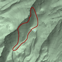
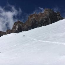
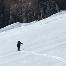

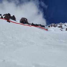
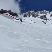
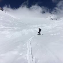
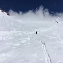
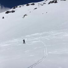
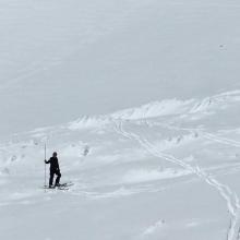
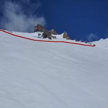
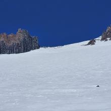
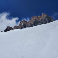
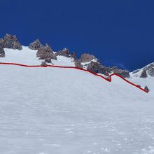
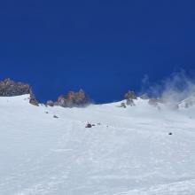
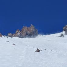
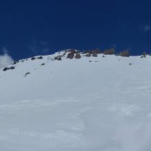
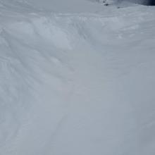
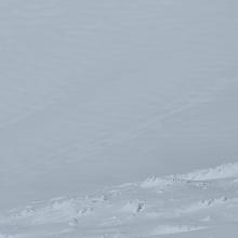


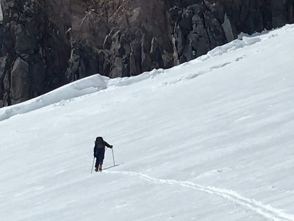
A large (R2/D3) avalanche occurred off of the east face of Casaval Ridge sometime late Sunday. Strong northwest winds were briefly seen Sunday afternoon blowing snow over the ridge. The avalanche started at 10,500 ft, at the top of the ridge above 50/50 flat with the crown extending about a half mile up the ridge to 11,500 ft, above Helen Lake. Debris from the whole release flowed down Climber's Gully to just below 50/50. The debris was 10 ft (300 cm) deep in places.
DATA CODE: HS-N-R2-D3-S