You are here
Avalanche Gulch Christmas Storm Report
Location Name:
Mount ShastaRegion:
Mt. ShastaDate and time of observation:
Sat, 12/26/2020 - 2:30pmObservation made by:
ForecasterLocation Map
96067
Mount Shasta
, CA
United States
41° 21' 24.714" N, 122° 12' 20.646" W
See map: Google Maps
California US
Weather Observations
Details
See notes
Statistics
Cloud Cover:
50% of the sky covered by cloudsBlowing Snow:
YesPrecipitation:
SnowAccumulation rate:
Less than 1 in. per hourAir temperature:
Below FreezingAir temperature trend:
WarmingWind Speed:
LightWind Direction:
West


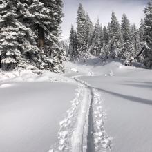
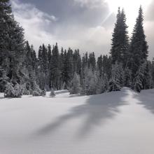
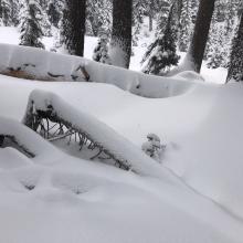
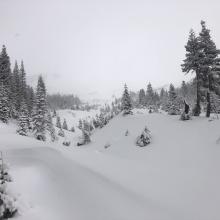
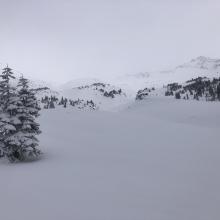
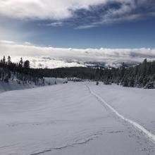
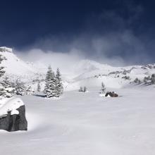
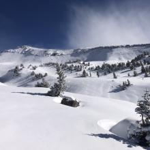
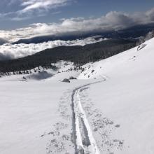
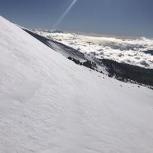
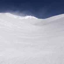
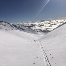
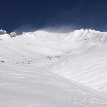
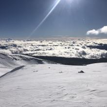


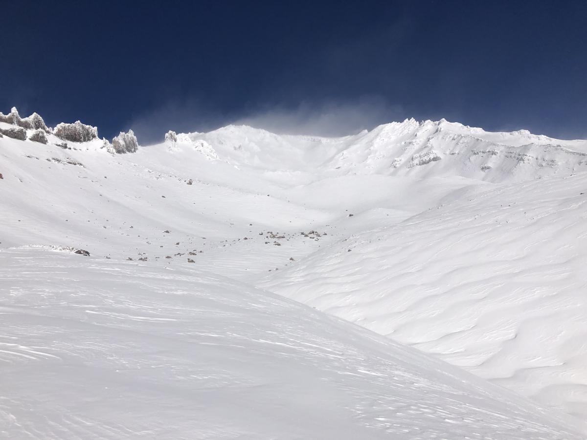
We had a wonderful day touring up Avalanche Gulch to 50/50 flat. The foot or more fresh snow was cold and light with mostly smooth surface textures below 9,000 feet. Looking up towards elevation above 9,000 feet, one could make out small drifts forming windrows from previous crosswinds. The morning was cloudy, with spirits of snow squalls moving in and out until 11 a.m. Winds calmed down as the storm dissipated. A pit dug near treeline on a west-facing aspect had planer results on sugary grains sandwiched between crusts within the old snow. This is of little concern now but is something to continue to monitor as we get more snow this week. No other signs of instabilities were observed. The snowpack is still shallow, and many rocks and logs are barely hidden.
The five inches of snow that fell in town was wet and melting this morning, causing a slick drive up the Everitt Memorial Highway. The road was still slick when I drove down around 3 p.m. It was a busy post-Christmas Day. I witnessed many fender benders and cars in the ditch. Use caution if you choose to park on the side of steep corners.