You are here
Ash Creek Butte
Location Name:
Ash Creek ButteRegion:
East of Mt ShastaDate and time of observation:
Sun, 01/01/2023 - 11:30amObservation made by:
PublicLocation Map
96067
Mount Shasta
, CA
United States
41° 27' 10.0224" N, 122° 2' 33.3168" W
See map: Google Maps
California US
Weather Observations
Details

Statistics
Cloud Cover:
ClearBlowing Snow:
NoPrecipitation:
NoneAccumulation rate:
NoneAir temperature:
Below FreezingAir temperature trend:
CoolingWind Speed:
ModerateWind Direction:
Northeast


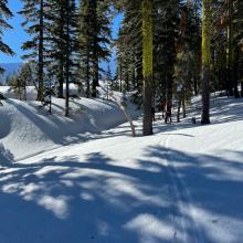
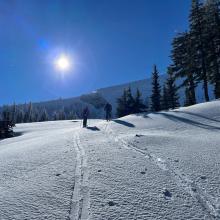
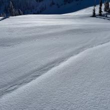
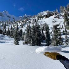
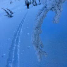

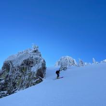
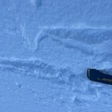
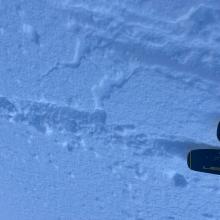

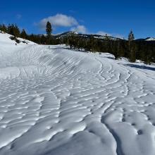


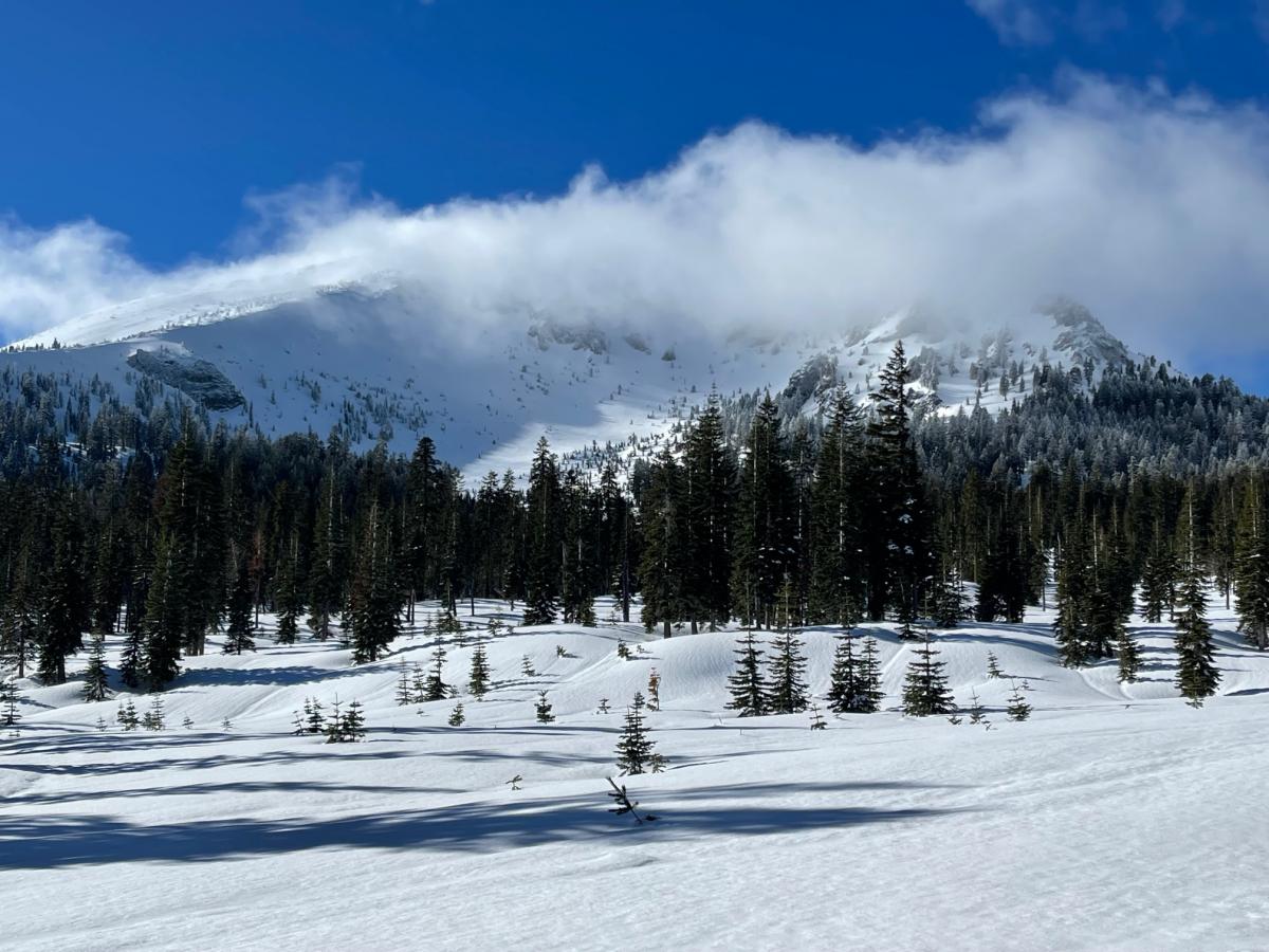
A very alpine day over on Ash Creek Butte. Chilly temps, clear blue sky and a strong northeast wind were notables. The stiff north wind could be seen spooling spin drift off Mt. Shasta in the distance, but on Ash Creek Butte, very little snow was available for transport. The recent rapid warming and rain on snow event at the end of December created widespread, deep rain runnels below treeline. Near and above treeline, the runnels were much less pronounced, but the snowpack still affected from the rain/warm-up event, and essentially bomber. Of future concern...A thin zipper crust topped the snowpack in the east facing Ash Creek Bowl. Just below the zipper crust, a 1-inch layer of near surface facets existed. This thin surface crust with a weak, sugary layer of snow below will not support a large load of new snow.
Pilgrim Creek Snomobile Park: The Esperanza road (dirt) is in rough shape and heavily pot-holed. At the snow park, plenty of parking exists, the warming hut is always open and the road is plowed. The Tri-Forest Snowmobile trails have been groomed and in great shape, albeit a bit icy today! Keep those sleds cool.