You are here
Summit - Upper Avalanche Gulch
Location Name:
Mount ShastaRegion:
Mt. ShastaDate and time of observation:
Thu, 02/16/2023 - 11:30amObservation made by:
ForecasterLocation Map
96067
Mount Shasta
, CA
United States
41° 23' 56.7636" N, 122° 12' 2.5236" W
See map: Google Maps
California US
Weather Observations
Details

Statistics
Cloud Cover:
25% of the sky covered by cloudsBlowing Snow:
NoPrecipitation:
NoneAccumulation rate:
NoneAir temperature:
Below FreezingAir temperature trend:
WarmingWind Speed:
LightWind Direction:
Southwest


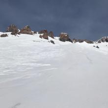
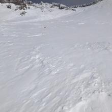
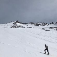
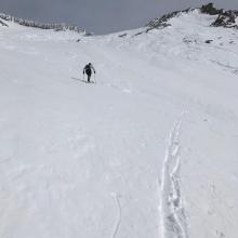
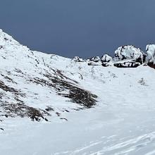
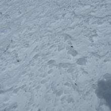

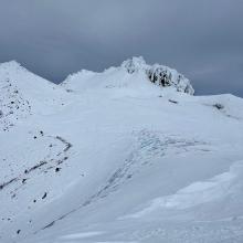


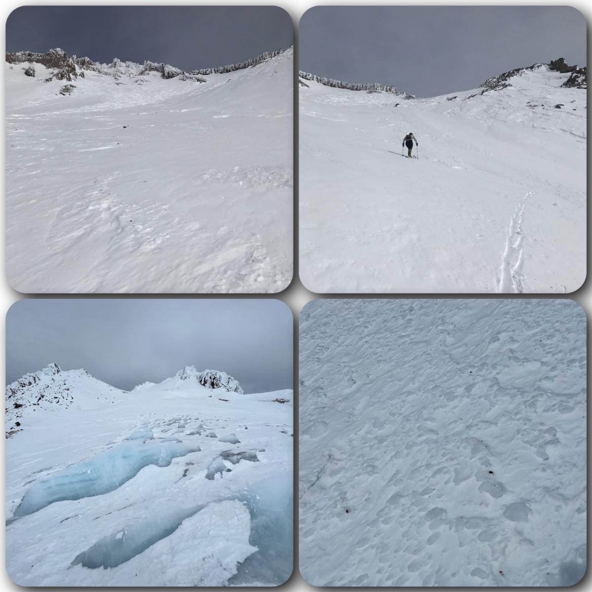
A local crusher and his comrade ventured above Helen Lake via Avalanche Gulch yesterday. One went all the way to the summit. We will let them do the talking here. In Avalanche Gulch, "...within a 50 yard radius, snow surfaces ranged from wind packed powder, to hard melt/freeze wind board to icy chicken heads to sastrugi 1.5 feet tall." Also...."The worst conditions I’ve ever encountered above Helen Lake. A lot of fallen rock on the snow, and the Heart/Redbanks headwall was a checkerboard of wind board snow and clear rime ice. Not skiable from summit to base of Misery Hill without a ton of rock strikes and riding the chicken head jackhammer." There you have it. If you need it described in other terms -- variable and gnarly! Don’t take this lightly. One must not fall in steep terrain.