You are here
Avalanche Gulch
Location Name:
Mount Shasta WildernessRegion:
Mt. ShastaDate and time of observation:
Fri, 03/03/2023 - 11:30amObservation made by:
ForecasterLocation Map
96067
Mount Shasta
, CA
United States
41° 22' 47.8848" N, 122° 12' 57.9888" W
See map: Google Maps
California US
Weather Observations
Details
Weather data from Old Ski Bowl and Gray Butte weather stations over the past 24 hours:

Statistics
Cloud Cover:
25% of the sky covered by cloudsBlowing Snow:
NoPrecipitation:
NoneAccumulation rate:
NoneAir temperature:
Below FreezingAir temperature trend:
CoolingWind Speed:
LightWind Direction:
West


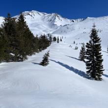
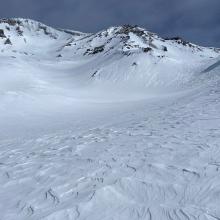
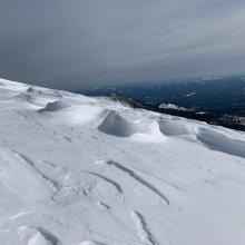
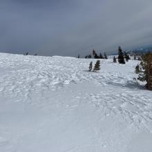

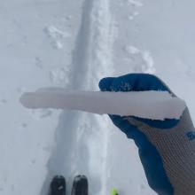
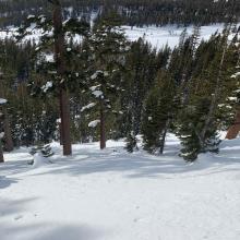
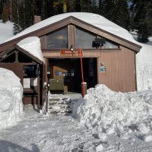


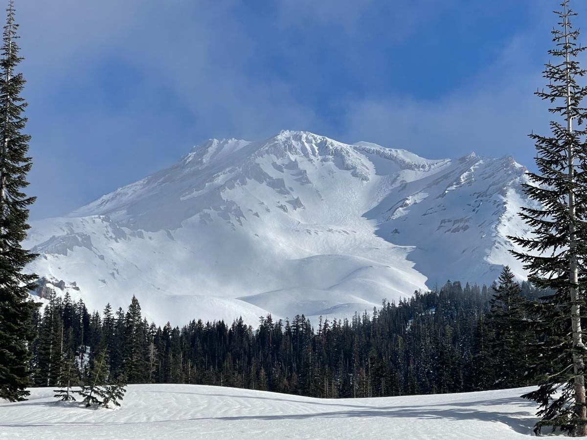
Avalanche Gulch on Mount Shasta was the go-to yesterday for backcountry skiers. The gate on the Everitt Memorial Highway opened late in the afternoon the day prior. It was a rather mild day, partly cloudy and calm wind below treeline with temperatures reaching a high of 28° F. Wind blew primarily out of the west, with average speeds of 10 mi/hr, gusting to 42 mi/hr near and above treeline. A dusting of new snow had fallen overnight. You know how things go several days after a storm and with a good dose of sun: variable with a side of crust. Soft snow does linger in protected, shady areas. A nasty sun crust is widespread up to about 8,500 feet and supportable on skis above that. Wind affected snow exists above treeline, but smooth sections can be found. No signs of avalanche danger or persistent weak layers have been found. No reports of climbers or conditions on the upper mountain.