You are here
Above Treeline
Location Name:
Above TreelineRegion:
Mt. ShastaDate and time of observation:
Mon, 01/17/2022 - 2:00pmObservation made by:
ForecasterLocation Map
96067
Mount Shasta
, CA
United States
41° 21' 54.4212" N, 122° 13' 20.0928" W
See map: Google Maps
California US
Weather Observations
Statistics
Cloud Cover:
25% of the sky covered by cloudsBlowing Snow:
NoPrecipitation:
NoneAccumulation rate:
NoneAir temperature:
Above FreezingAir temperature trend:
StaticWind Speed:
Calm


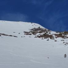
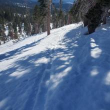
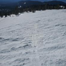


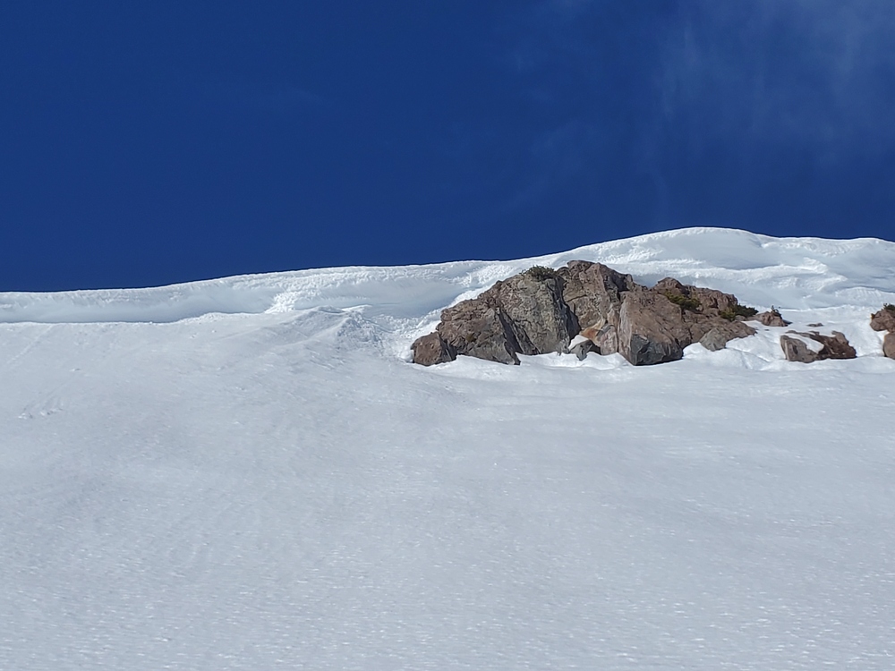
As you ascend from below to above treeline you will find mostly soft snow - sometimes you will posthole - but mostly thin soft snow sits atop firmer, supportable snow. Skiers will sink anywhere from 1/2 inch to 2 inches. Not much evidence of ice fall was seen below Red Banks, but conditions are firm and icy up there. There is plenty of rime ice still plastered on high, wind exposed cliffs and crags. Moraines and ridges have plenty of visible rocks.
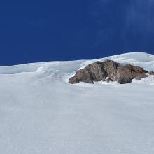
Cornices were solid and have not broken in the warmer temperatures. Small, wet sloughs seemed possible on very steep terrain, but generally loose wet avalanches did not seem to be a problem.
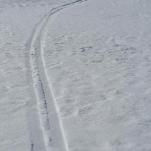
Sastrugis, wind-textured snow, and ski tracks all have created uneven snow surfaces. Open, sun exposed aspects held the best, smoothest snow for sliding.
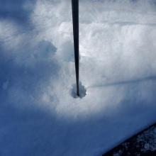
Height of snow above treeline was measured at 61 in (155 cm).