You are here
Avalanche Gulch
Location Name:
Mount ShastaRegion:
Mt. ShastaDate and time of observation:
Sat, 12/19/2020 - 12:00pmObservation made by:
ForecasterRed Flags:
Location Map
96067
Mount Shasta
, CA
United States
41° 23' 22.2972" N, 122° 12' 40.2156" W
See map: Google Maps
California US
Weather Observations
Details
See notes
Statistics
Cloud Cover:
25% of the sky covered by cloudsBlowing Snow:
YesPrecipitation:
Accumulation rate:
Air temperature:
Below FreezingAir temperature trend:
WarmingWind Speed:
StrongWind Direction:
Northwest



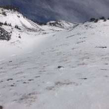
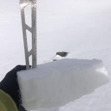
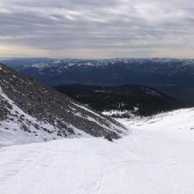
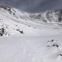


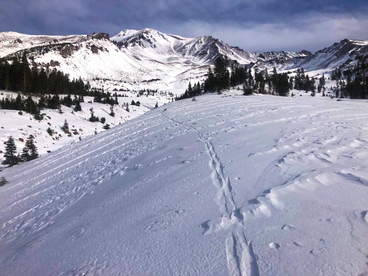
Mount Shasta has received strong northwest winds over the past 24 hours. Wind speeds recorded at 8,000 feet on Gray Butte have ranged from 15 to 29 mi/hr and averaged 22 mi/hr over the last 24 hours (12/18- 1500 hours to 12/19 - 1500 hours). This has obliterated what was left of our shallow snowpack near and above treeline. A tour to Helen Lake in Avalanche Gulch observed a barely usable snowpack. Gullies host the best chance at making turns on a firm and chalky wind board. Pockets of softer snow remain in protected areas below the treeline and are mixed with various breakable wind and sun crust in open areas. Many hidden and not so hidden obstacles exist everywhere. There is little to no snow on the typical avalanche starting zones on the south side of Mount Shasta at this time.