You are here
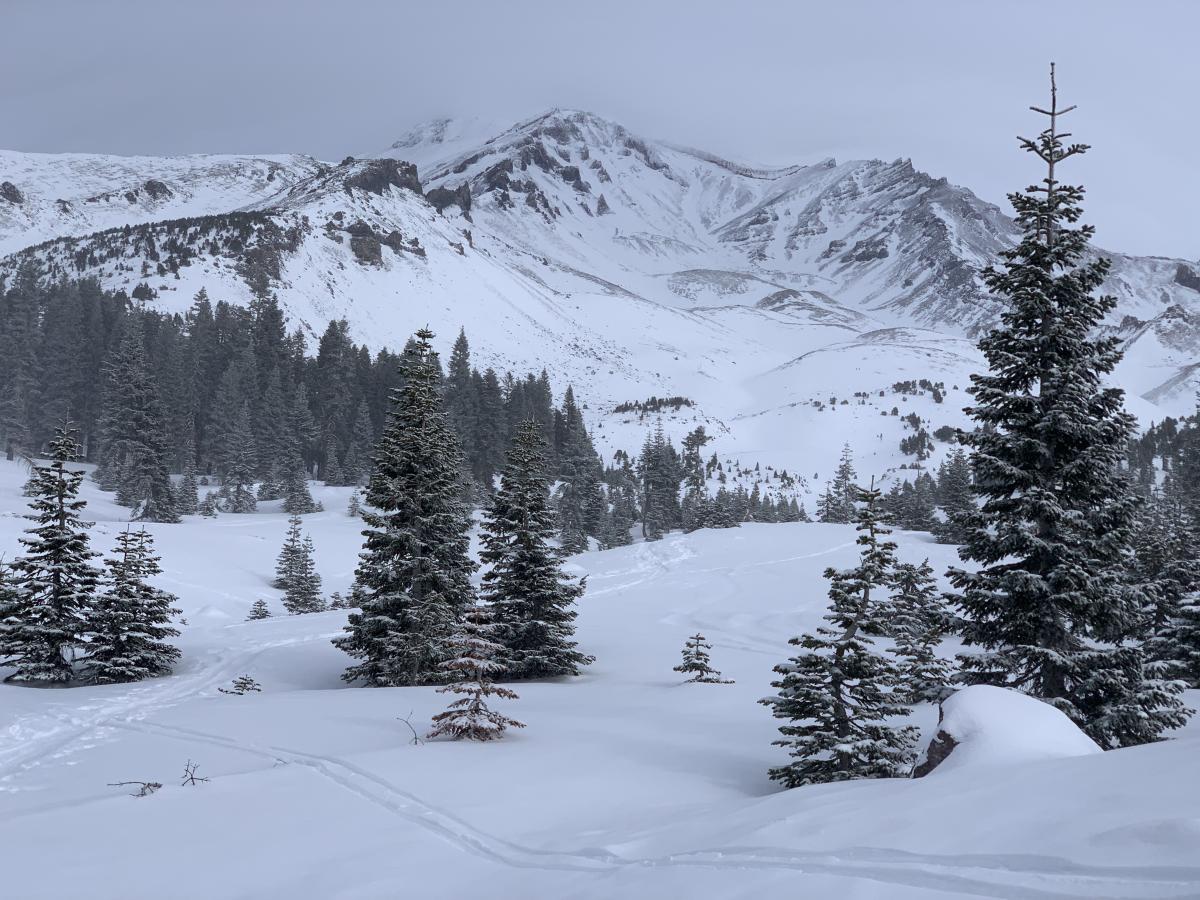
Avalanche Gulch - Lower Casaval
Location Name:
Mount ShastaRegion:
Mt. ShastaDate and time of observation:
Sat, 01/02/2021 - 11:30amObservation made by:
ForecasterLocation Map
96067
Mount Shasta
, CA
United States
41° 22' 27.1092" N, 122° 13' 44.5476" W
See map: Google Maps
California US
Weather Observations
Statistics
Cloud Cover:
100% of the sky covered by cloudsBlowing Snow:
NoPrecipitation:
SnowAccumulation rate:
Less than 1 in. per hourAir temperature:
Below FreezingAir temperature trend:
CoolingWind Speed:
CalmWind Direction:
West


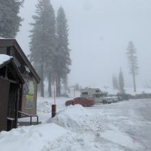
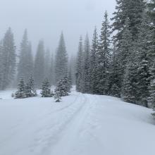
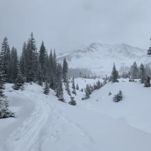
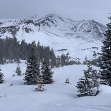
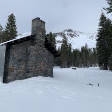



Overcast skies, obscured at times today. No sun. Fog, mist, clouds, very light and brief moments of snow with filtered light, temps near 32 F at 8,000 feet. Toured up to Horse Camp and Lower Casaval Ridge with intention of investigating winds and wind slabs.
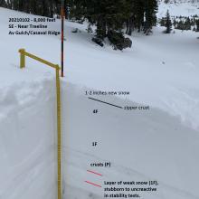
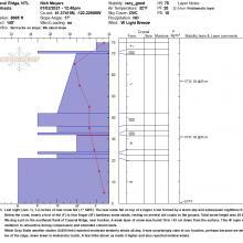
Last night (Jan. 1), 1-2 inches of new snow fell (.1" SWE). The new snow fell on top of a zipper crust formed by a warm day and subsequent nighttime freezing. Below the crust, nearly a foot of fist (F) to four finger (4F) hardness snow exists, resting on several old crusts to the ground. Total snow height was 29.5 inches. We dug a pit on the southeast flank of Casaval Ridge, near treeline. A weak layer of snow was found 18 in / 45 cm down from the surface. This 4F layer was stubborn to unreactive during compression and extended column tests.
While Gray Butte weather station (8,000 feet) reported moderate westerly winds all day, it was surprisingly calm at our location, perhaps because we were in the lee of the ridge, down lower in Avalanche Gulch. A few folks above us made it higher and also reported mellow winds.