

You are here
Brewer Creek, Eastside

Location Name:
Hotlum-Wintun ApproachRegion:
Mt. ShastaDate and time of observation:
Mon, 12/25/2017 - 9:30pmObservation made by:
ForecasterLocation Map
96067
Mount Shasta
, CA
United States
41° 25' 10.5312" N, 122° 10' 0.1308" W
See map: Google Maps
California US
Snowpack Observations
Details
Photos

Weather Observations
Details
Westerly winds remained strong throughout the day. Skies were clear and sunny.
Statistics
Cloud Cover:
ClearBlowing Snow:
YesPrecipitation:
NoneAccumulation rate:
NoneAir temperature:
Below FreezingAir temperature trend:
StaticWind Speed:
StrongWind Direction:
West

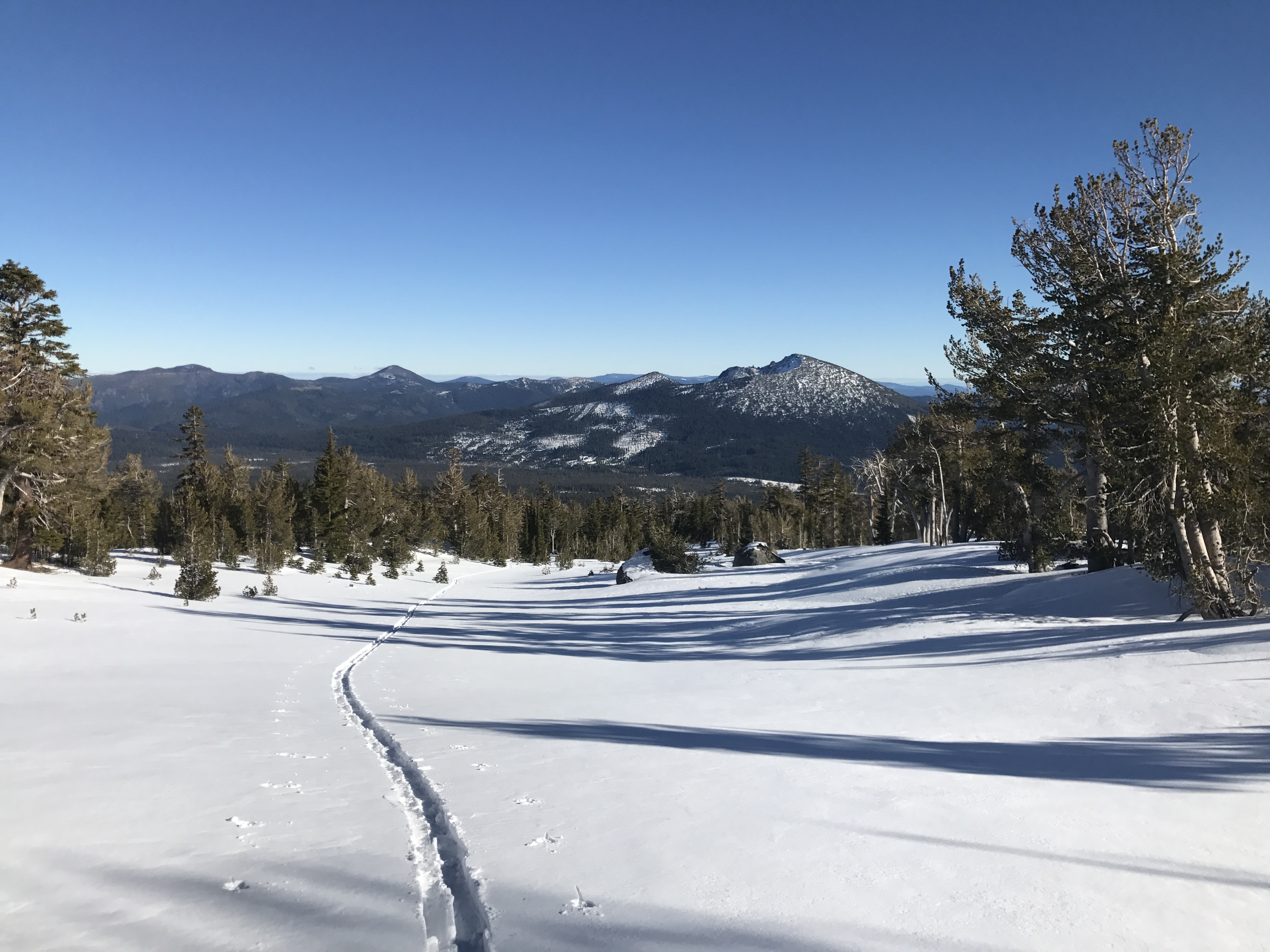
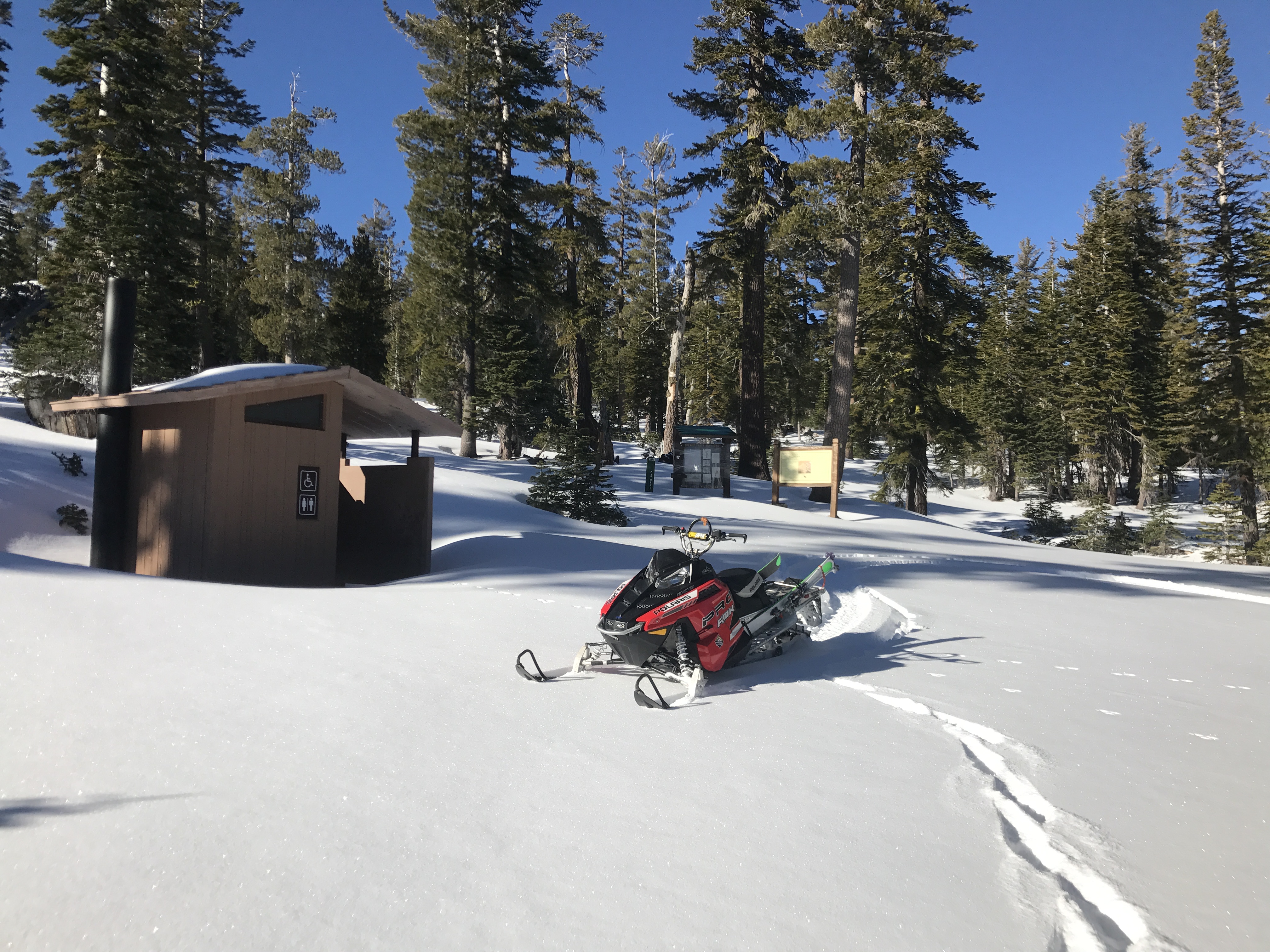
It was possible to drive to the intersection of the Brewer Creek Road and Military Pass Road today. The riding on the Brewer Creek road to the trailhead was easy going. Coverage is very thin below 6,000ft, though. The height of snow ranged from 30-100cm between 6,500-9,500ft on the Brewer Creek road up to the base of the Hotlum-Wintun Snowfield.
Between 6,5000-7,800ft on north and east aspects, 20-25cm of low-density snow (the December 3rd and December 20th storms) sits on top of the Thanksgiving rain crust. These specific areas are shady, cold, and wind-protected and have preserved the December snow, and have kept it light and dry. Below treeline on north and east aspects, the top 20-25cm of the snowpack has also started to facet. This recycled powder made for fun turns in the trees.
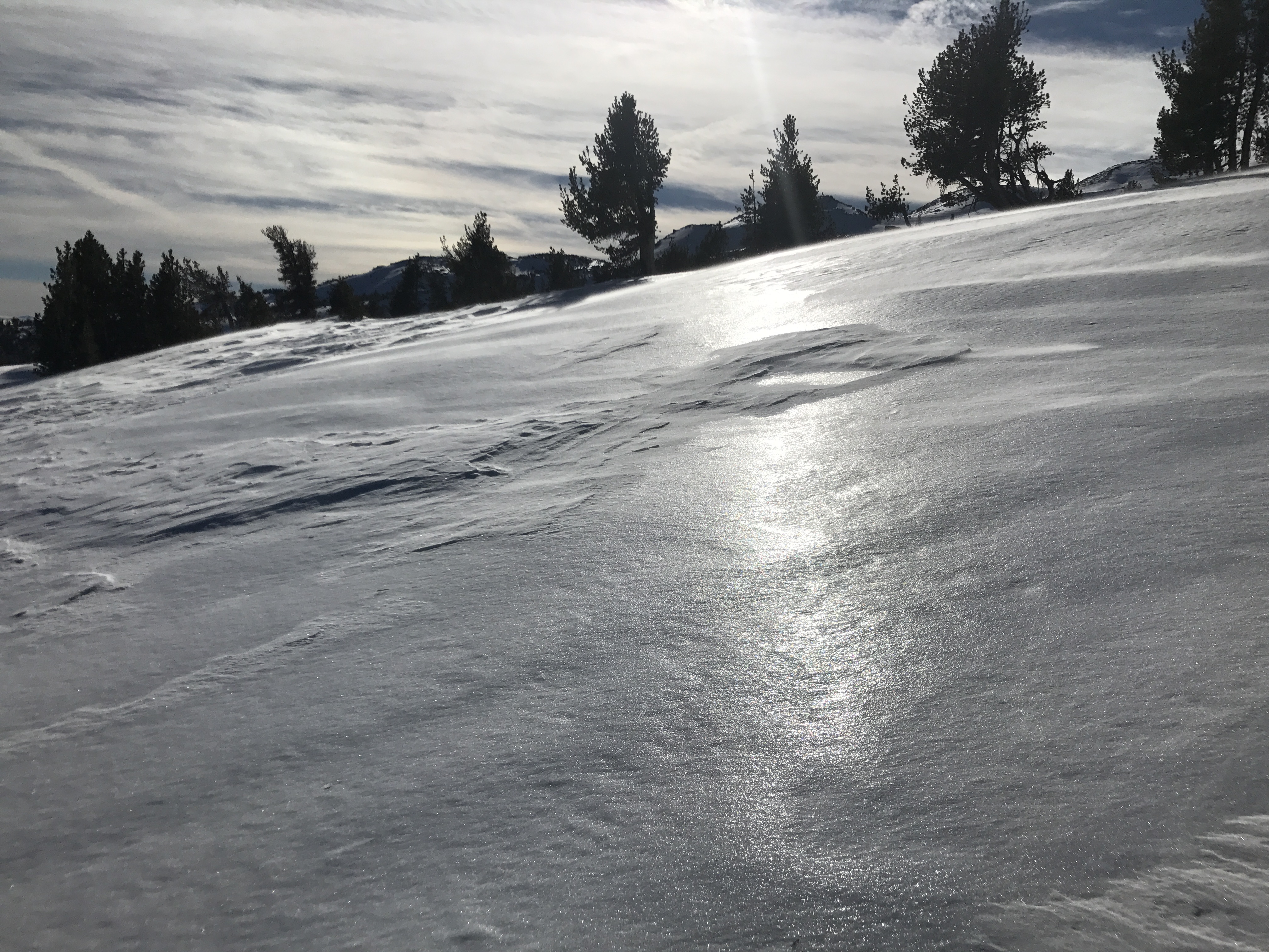
The Thanksgiving rain crust is rockhard, and has locked up the lower snowpack. Near and above treeline, this rain crust is the most widespread snow surface and is very firm and icy. Skiing and riding conditions were very poor above treeline today.
No signs of instability were observed.