You are here
California Cooperative Snow Survey
Location Name:
Shasta - Trinity National ForestRegion:
Mt. ShastaDate and time of observation:
Sat, 01/28/2023 - 1:30pmObservation made by:
ForecasterLocation Map
96067
Mount Shasta
, CA
United States
41° 12' 55.0008" N, 122° 25' 2.0748" W
See map: Google Maps
California US
Weather Observations
Details
Past 24-hour weather data from nearby Castle Lake weather station:
- Temp: Min - 23 / Max - 36 / Avg - 29
- Snow depth: sensor down
Statistics
Cloud Cover:
ClearBlowing Snow:
NoPrecipitation:
NoneAccumulation rate:
NoneAir temperature:
Above FreezingAir temperature trend:
CoolingWind Speed:
CalmWind Direction:
Southeast



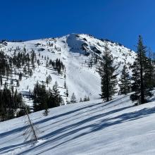
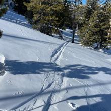
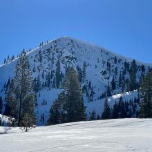
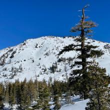
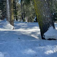
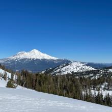
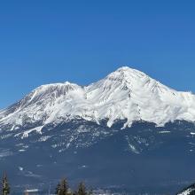
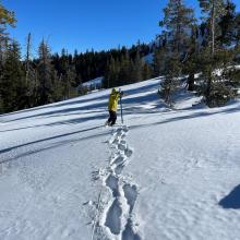

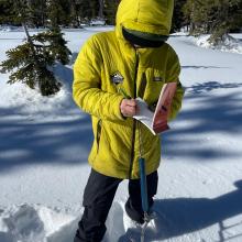


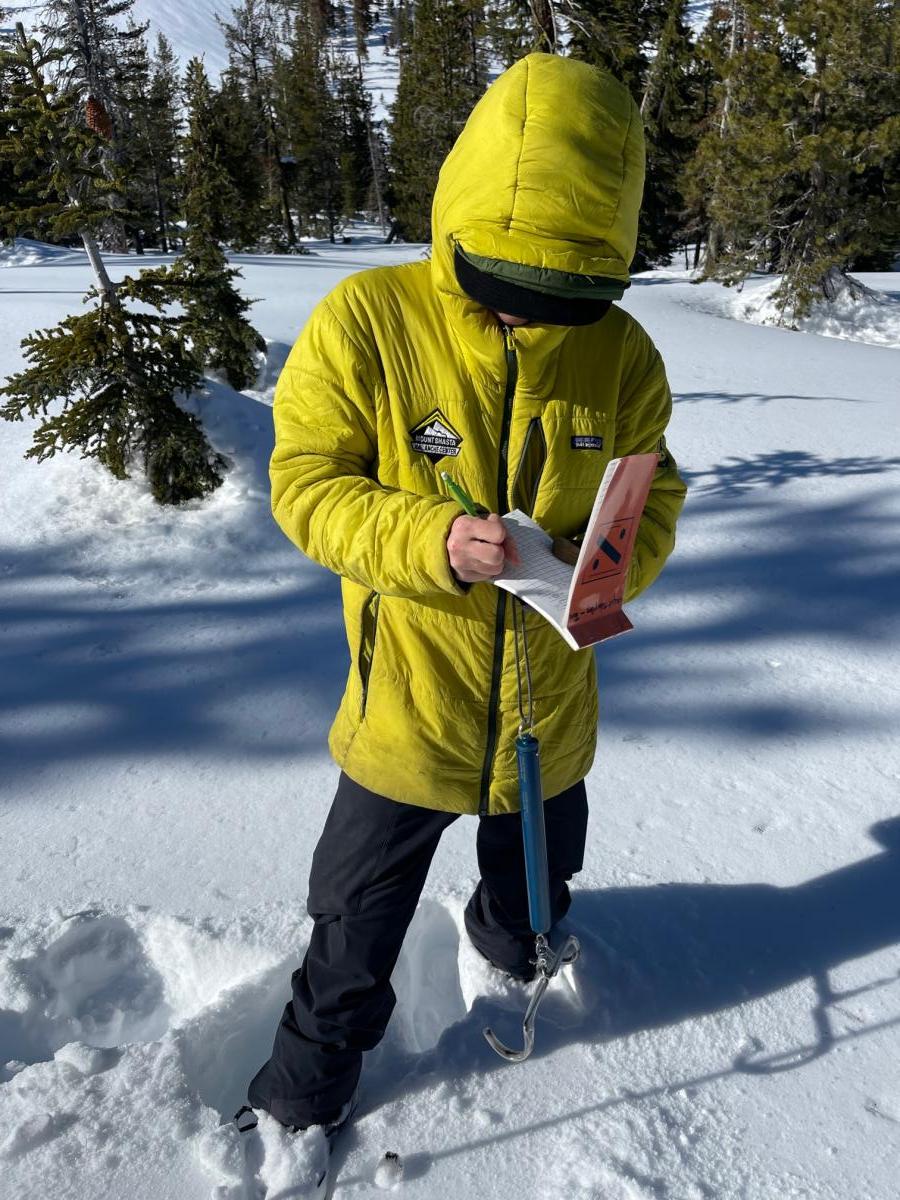
It's that time of year again for the California Cooperative Snow Surveys (CCSS). The CCSS program provides mountain snowpack data and streamflow forecasts for the western United States. It is a partnership of more than 50 state, federal and private agencies. The agencies share a pool of expert staff and program funding, which collects, analyzes and disseminates snow data from more than 265 snow courses and 130 snow sensors located throughout the Sierra Nevada and Shasta-Trinity mountains. Common applications of snow survey products include water supply management, flood control, climate modeling, recreation and conservation planning.
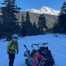
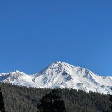
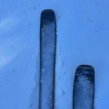
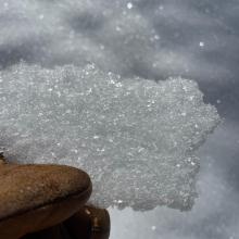
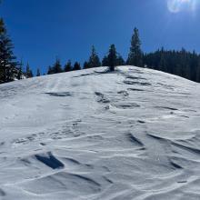
The past two days, Forest Service avalanche center staff has conducted surveys at Deadfall (Trinity drainage) and Gray Rocks (Sacramento drainage) courses. Average snow depths observed: 79 and 129 inches, respectively. Snow surfaces frequently changed from soft, near surface facets (quite nice for skiing; fleeting) -- to breakable wind board and sun crust -- to rock hard wind slabs. Temps were a few degrees above freezing and the wind was mostly calm today; yesterday a stiff north wind blew. Coverage is good. Most small streams are snow bridged. Other courses sampled include Parks, Sweetwater, Sand Flat, Horse Camp and Brewer to name a few. Many more courses exist.
________________________________________