You are here
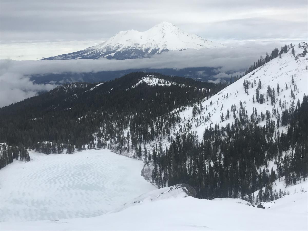
Castle Lake
Location Name:
Middle Peak, Castle Lake Region:
Castle LakeDate and time of observation:
Fri, 01/24/2020 - 1:30pmObservation made by:
ForecasterLocation Map
96067
Mount Shasta
, CA
United States
41° 13' 22.9656" N, 122° 23' 15.27" W
See map: Google Maps
California US
Weather Observations
Statistics
Cloud Cover:
75% of the sky covered by cloudsPrecipitation:
NoneAccumulation rate:
NoneAir temperature:
Above FreezingAir temperature trend:
WarmingWind Speed:
LightWind Direction:
South





DATE: 20200124
TIME: 1330
OBSERVER: Meyers/Miller
LOCATION: Castle Lake area
SKY CONDITION: Mostly obscured, in and out of low clouds/fog, brief clearings
PRECIPITATION TYPE/RATE: none
BLOWING SNOW: no
AIR TEMPERATURE: 34 deg F
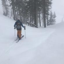
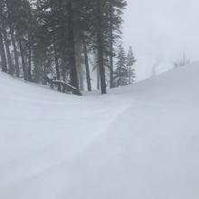
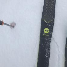
SURFACE PENETRABILITY: Ski - 1" to 6" (2.5 to 15 cm) / Boot - 5" to 15" (12 to 35 cm)
HEIGHT OF SNOWPACK (HS): 2' to 4' (60 to 121 cm)
HEIGHT OF NEW SNOW (HN): 0" (rain on snow)
WIND: Light / Southerly
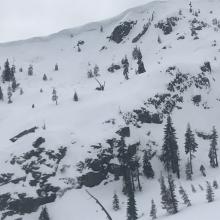
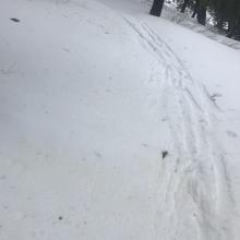
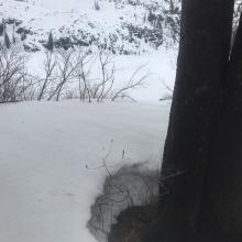
NOTES: You couldn't buy an avalanche today, however large cornices remain along the ridgeline of Middle Peak. Approximately .3 to .4 inches of rain fell on the snowpack the night prior, saturating the upper portion of the snowpack. Punchy snow was encountered up to about 5,600 feet. Above, more supportable snow surfaces with occasional soft spots. Minor roller balls, a few broke off cornices and an old slab avalanche that had slid onto the back portion of the lake were observed. A lot of settlement has taken place due to rain on snow. The lake is soft and slushy, but supportable. We skied back across the lake after a clockwise circumnavigation of the lake via Middle Peak. Visibility was poor most of the time with brief donut holes. A cloud deck hovered near 6,000 feet. The day was warm and mild, light wind and the snow skied decently until it got punchy lower on the slopes.
A group of skiers on Mount Shasta reported chilly temps, wind and blowing snow with up to 6 inches of new snow above treeline in alpine terrain, a drastically different scenario than encountered at Castle Lake today.