You are here
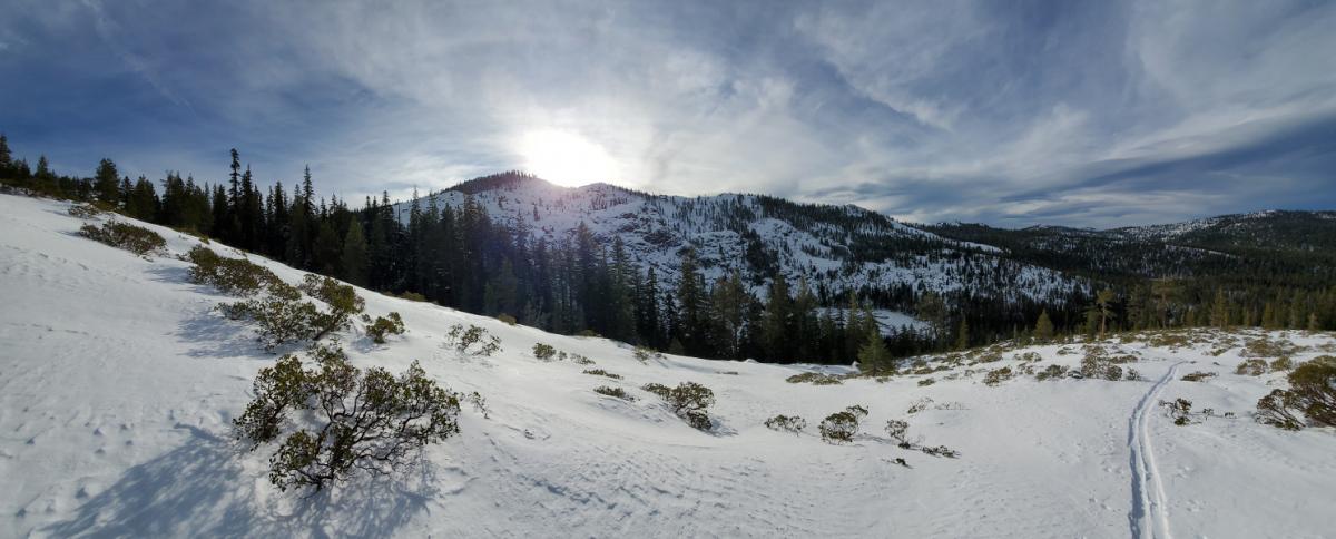
Cliff Lake
Location Name:
Cliff LakeRegion:
Mt EddyDate and time of observation:
Tue, 12/17/2019 - 2:00pmObservation made by:
ForecasterLocation Map
96067
Mount Shasta
, CA
United States
41° 11' 56.8752" N, 122° 29' 26.376" W
See map: Google Maps
California US
Weather Observations
Statistics
Cloud Cover:
100% of the sky covered by cloudsBlowing Snow:
YesPrecipitation:
NoneAccumulation rate:
NoneAir temperature:
Below FreezingAir temperature trend:
StaticWind Speed:
LightWind Direction:
West


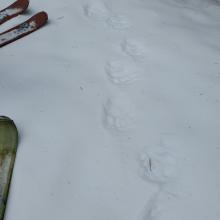

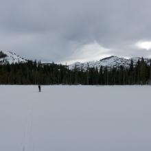

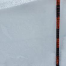
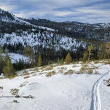
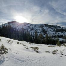
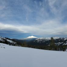


20191217 - 1400 hrs - Beverly - Cliff Lake BasinParks Creek Summit Trailhead parking area, 5,800 feet
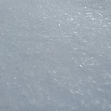
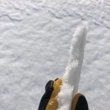
Snowpack is a knife hard block of ice from the ground up with a thin layer (1.2 in / 3 cm) of unbounded granular snow above which is a mix of recrystalized and defragmented snow and hoar frost. Hoar frost mostly exists in exposed areas unaffected by the wind. Above treeline, this thin layer is replaced by a mix of rimed snow, breakable sun crusts, wind board, and sastrugis.
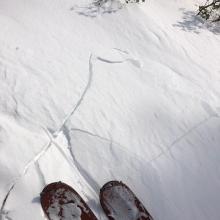
Wind was transporting snow and very small isolated wind slabs had formed but were stubborn to trigger.
Lakes host supportable ice with the same thin layer of unbounded granular snow.