You are here
Day Two of the Storm
Location Name:
Green Butte RidgeRegion:
Mt. ShastaDate and time of observation:
Tue, 03/09/2021 - 2:00pmObservation made by:
ForecasterRed Flags:
Whumphing noises, shooting cracks, or collapsing
Recent loading by new snow, wind, or rain
Location Map
96067
Mount Shasta
, CA
United States
41° 21' 36.0864" N, 122° 13' 51.2544" W
See map: Google Maps
California US
Weather Observations
Statistics
Cloud Cover:
100% of the sky covered by cloudsBlowing Snow:
YesPrecipitation:
SnowAccumulation rate:
Greater than 1 in. per hourAir temperature:
Below FreezingAir temperature trend:
StaticWind Speed:
LightWind Direction:
Southwest


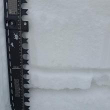
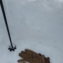
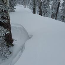
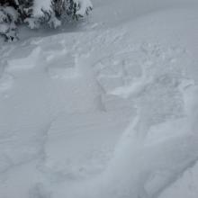
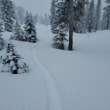


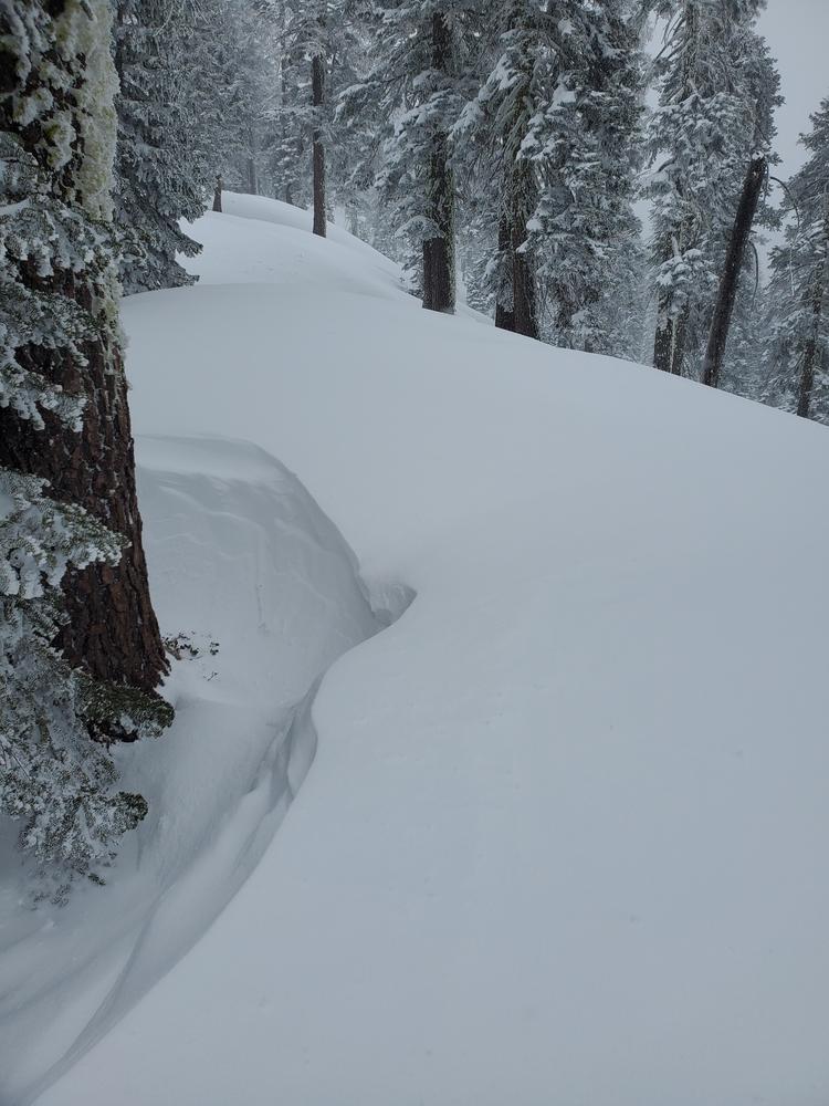
Well over a foot of snow had fallen at Bunny Flat yesterday afternoon since Monday's storm started. Blocky, slabby windrifts over 2 feet deep have formed along ridges. Cracks and blockiness in new snow indicate potentional wind slab and storm slab problems. The concerning weak layer residing within the snow that fell Saturday was not a concern at the elevations where column tests were conducted. Hard to no results were seen at two different, but similar locations. This weakness most probably exists at higher elevations where the crust that formed Sunday is thin and breakbable.