You are here
December 30th Avalanche Cycle
Location Name:
Mount ShastaRegion:
Mt. ShastaDate and time of observation:
Fri, 12/30/2022 - 4:00pmObservation made by:
ForecasterRed Flags:
Recent avalanche activity
Whumphing noises, shooting cracks, or collapsing
Recent loading by new snow, wind, or rain
Rapid warming
Location Map
96067
Mount Shasta
, CA
United States
41° 22' 44.2308" N, 122° 13' 27.606" W
See map: Google Maps
California US
Weather Observations
Details
Weather data leading up to the avalanche cycle:

Statistics
Cloud Cover:
50% of the sky covered by cloudsBlowing Snow:
NoAccumulation rate:
NoneAir temperature:
Above FreezingAir temperature trend:
CoolingWind Speed:
ModerateWind Direction:
North


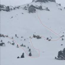
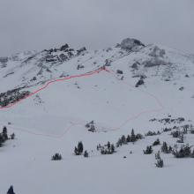


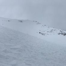
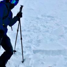
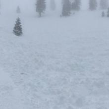
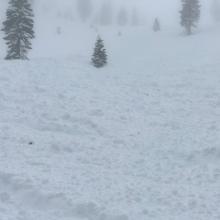
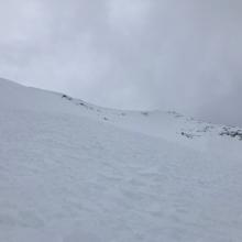
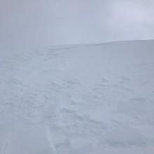
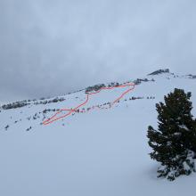


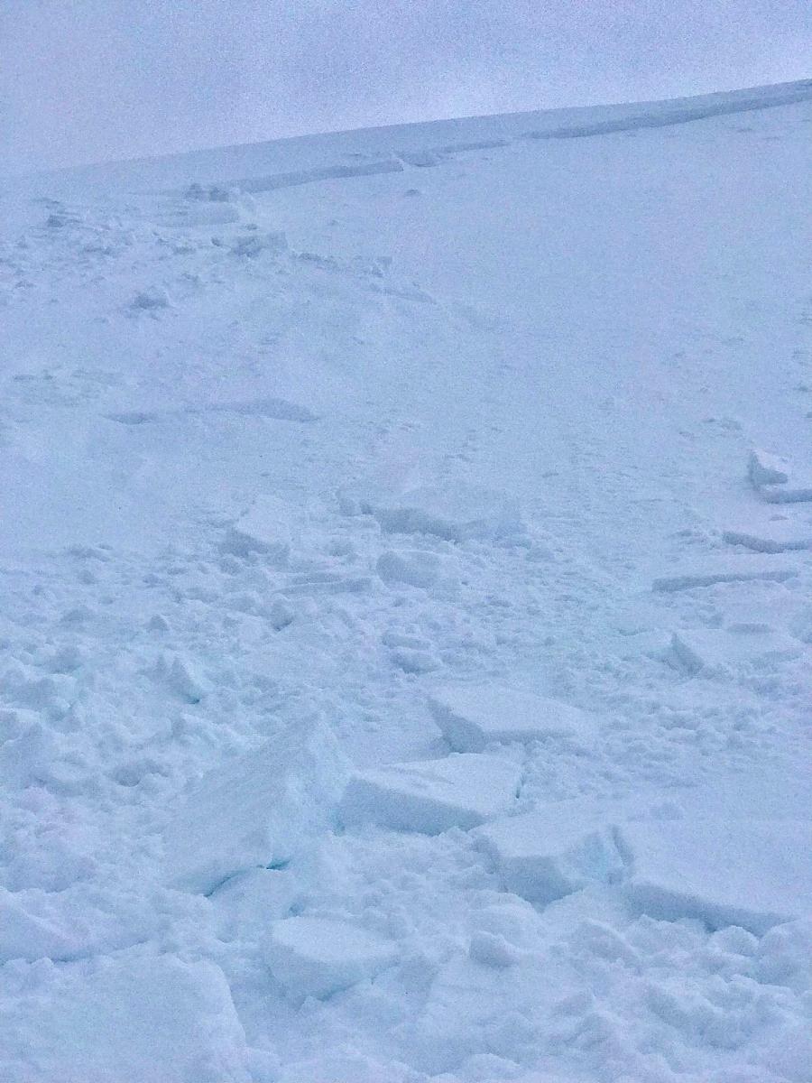
On December 29th and 30th, a strong winter storm brought upwards of 2 feet of snow to the area, accompanied by strong westerly wind. An avalanche cycle ensured, likely in the afternoon or evening of December 30th. Visibility finally cleared today (12/31) which resulted in numerous reports of avalanches from this cycle. We have been unable to visit each avalanche up close and in person, so the pictures and information are the best that we have at this time. We will provide updated information as it is gathered.
Here is the observation from earlier in the day that the avalanches occurred: https://www.shastaavalanche.org/snowpack-observation/whumpfing-shooting-cracks-unstable-test-results. All slides occurred near and above treeline on S-SE-E facing aspects. We experienced a cold storm followed by a warm one with strong westerly wind. This warm-up likely caused the observed avalanches.