You are here
Gray Butte
Location Name:
Gray ButteRegion:
Mt. ShastaDate and time of observation:
Sat, 02/25/2023 - 1:00pmObservation made by:
ForecasterRed Flags:
Recent loading by new snow, wind, or rain
Location Map
Weather Observations
Statistics
Cloud Cover:
ClearBlowing Snow:
NoPrecipitation:
NoneAccumulation rate:
NoneAir temperature:
Above FreezingAir temperature trend:
StaticWind Speed:
ModerateWind Direction:
East




Observations from Gray Butte between 11am and 2pm
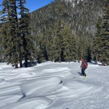
The sun was out early and strong today. Saturation of the snowpack started almost immediately, with the new snow turning quite heavy as the day went on. Ski touring proved to be tiring and difficult with the deep conditions out there.
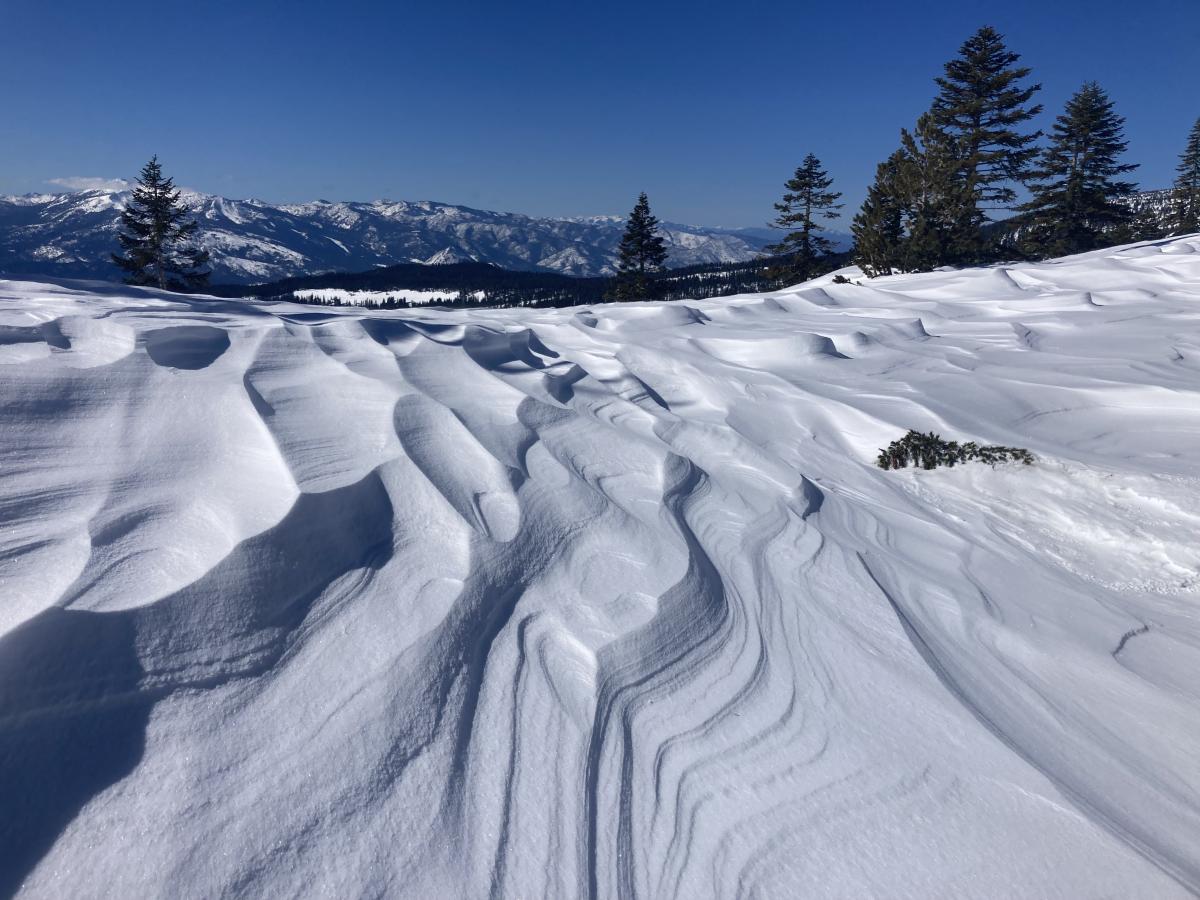
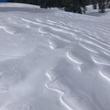
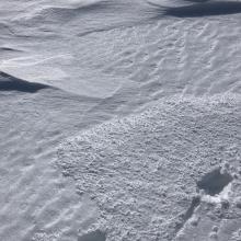
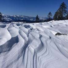
Below treeline, temperatures rose quickly with light winds out of the east. Exposed ridgelines, showed remarkable wind drifts, textured snow, and sastrugi nearly three feet tall. Settling cracks below trees showed signs of a quickly consolidating snowpack.
Near treeline, winds remained moderate out of the east, helping to keep temperatures slightly cooler than lower elevations. Variable surface conditions were in abundance, ranging from areas scoured to the old snow, to extreme wind drifts and sastrugi. No wind transport was observed during the outing.
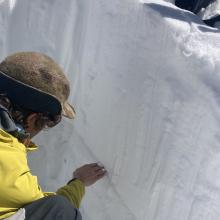
A pit dug at ~7,500 feet with a northwest aspect showed 80 cm (31 in) of new snow (4f - F) on top of a thin graupel layer (1f) with melt freeze old snow underneath. The new snow is right side up, well glued to the old snow, and did not show signs of instability. This could be due to the amount of warming and settling that occurred during the day. Tests resulted in a ECTX for the most part, with a slight collapse in the new snow at a marignal density change.
No avalanches were observed today. That being said, based off the amount of new snow and recent wind, we took no chances and stayed very clear of avalanche terrain today.