You are here
Gray Butte - Mid Storm
Location Name:
Gray ButteRegion:
Mt. ShastaDate and time of observation:
Sun, 03/19/2023 - 12:00pmObservation made by:
ForecasterRed Flags:
Recent avalanche activity
Recent loading by new snow, wind, or rain
Obvious avalanche path
Location Map
96067
Mount Shasta
, CA
United States
41° 21' 2.0196" N, 122° 11' 33.396" W
See map: Google Maps
California US
Weather Observations
Statistics
Cloud Cover:
100% of the sky covered by cloudsBlowing Snow:
NoPrecipitation:
SnowAccumulation rate:
Less than 1 in. per hourAir temperature:
Below FreezingAir temperature trend:
StaticWind Speed:
LightWind Direction:
South


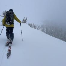
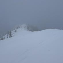
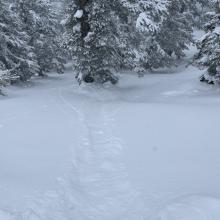
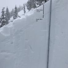


Observations from the northwest face of Gray Butte
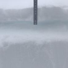
Snowy conditions with poor visibility were experienced throughout the outing. Wind remained light out of the south. Observed snow level was around 4,800 feet. As of 12pm, the average new snow accumulation is about five to six inches. Some leeward areas held closer to 10 inches.
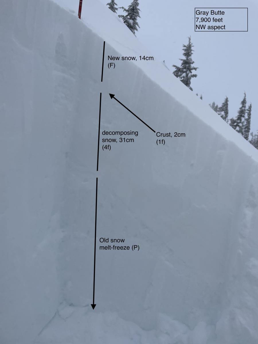
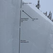
As suspected, the new snow is laying on top of the old solar crust on all observed terrain. The thickness and supportability of the crust varies depending on aspect. Solar aspects hold a far thicker punchable crust, while northerly terrain has a very thin and sometimes unnoticeable crust.
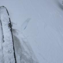
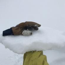
There were a few signs of instability on northerly terrain. The most obvious were the easily triggered dry-loose avalanches due to ski cuts. These dry-loose avalanches could entrain moderate amounts of snow and run up to 100 feet. Some cracking and slab characteristics were also observed on steeper convexities under skis.
Two pits were dug today. Both were at 7,900 feet at opposite sides of a ridgeline.