You are here
Gray Rock Lakes Survey
Location Name:
Near Gray Rock LakesRegion:
Mt EddyDate and time of observation:
Sun, 01/30/2022 - 1:00pmObservation made by:
ForecasterLocation Map
96067
Mount Shasta
, CA
United States
41° 12' 52.0596" N, 122° 25' 13.4292" W
See map: Google Maps
California US
Weather Observations
Statistics
Cloud Cover:
25% of the sky covered by cloudsBlowing Snow:
NoPrecipitation:
NoneAccumulation rate:
NoneAir temperature:
Above FreezingAir temperature trend:
Static


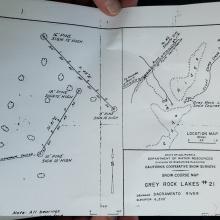


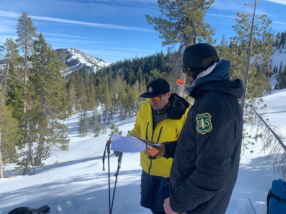
The Mount Shasta Avalanche Center (MSAC) conducted a snow survey at the Gray Rock Lakes survey course today. Snow surveys have been conducted by the California Cooperative Snow Survey (CCSS) since 1929 when the California legistlature recognized the importance of tracking the water content of the snowpack for water users of the state. This was based on the work started by Dr. James E. Church in the early 1900's on Mount Rose. Today over 50 federal, state, local, and private entities are part of collecting this data and MSAC is privileged to be a part of it.
The table below shows the present and recent trends of the survey at Gray Rocks.
In the last 45 years, California maximum and minimum precipitation amounts occurred in the 1982/1983 and 2014/2015 seasons, respectively.
Special thanks to Brett Lutz from NWS Medford and Erik Neumann from JPR for joining us on this survey.