You are here
Green Butte Ridge (Powder Bowl)
Location Name:
Green Butte RidgeRegion:
Mt. ShastaDate and time of observation:
Sat, 03/07/2020 - 12:30pmObservation made by:
ForecasterRed Flags:
Recent avalanche activity
Whumphing noises, shooting cracks, or collapsing
Recent loading by new snow, wind, or rain
Obvious avalanche path
Location Map
96067
Mount Shasta
, CA
United States
41° 22' 18.4332" N, 122° 12' 43.4304" W
See map: Google Maps
California US
Weather Observations
Statistics
Cloud Cover:
100% of the sky covered by cloudsBlowing Snow:
YesPrecipitation:
SnowAccumulation rate:
Less than 1 in. per hourAir temperature:
Below FreezingAir temperature trend:
WarmingWind Speed:
ModerateWind Direction:
Northwest







Observations on Green Butte, Powder Bowl:
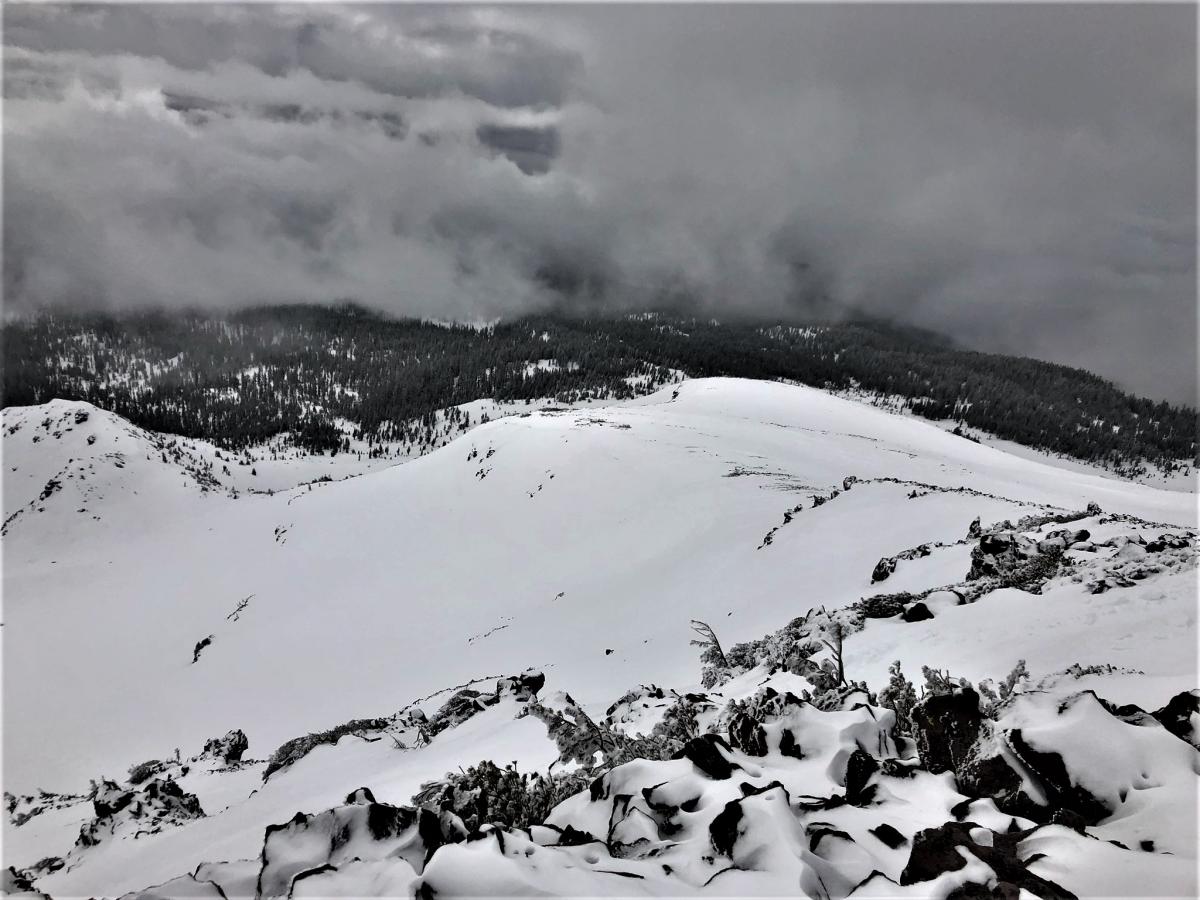
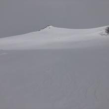
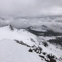
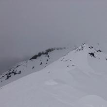
On a tour from Bunny Flat to the top of Green Butte, the new snow was three to five inches deep. Below and near treeline, the snow was light and unconsolidated and barely covers old pockmarks, rocks, and bushes. The old snowpack below is firm and icy. Above treeline, productive westerly winds were actively loading east and N-NE-E facing terrain. Minor blocking and cracking were observed along the ridgeline on easterly facing test slopes. I triggered a small wind slab avalanche below a cornice near the top of Powder Bowl. This slide (SS, AC/c, R1D1) failed on a density change 6 inches down and propagated to approximately 10 feet wide and ran 20 feet downslope. This avalanche was relatively small and inconsequential, but it was big enough to sweep an unaware skier off their feet.