You are here
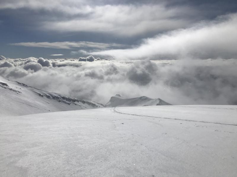
Lake Helen After The Storm

Location Name:
Avalanche GulchRegion:
Mt. ShastaDate and time of observation:
Fri, 01/19/2018 - 7:00pmObservation made by:
ForecasterRed Flags:
Recent loading by new snow, wind, or rain
Location Map
96067
Mount Shasta
, CA
United States
41° 23' 20.9076" N, 122° 12' 36.558" W
See map: Google Maps
California US
Weather Observations
Details
Visibility was off and on throughout the morning. Above treeline, whiteout conditions occurred periodically, but were broken up regularly by patches of clear sky. Winds were calm near and below treeline. Above treeline, moderate to strong gusts blew out of the west. Light snowfall occurred sporadically during the morning but no additional snow accumulated.
Statistics
Cloud Cover:
75% of the sky covered by cloudsBlowing Snow:
YesPrecipitation:
SnowAccumulation rate:
Less than 1 in. per hourAir temperature:
Below FreezingAir temperature trend:
StaticWind Speed:
ModerateWind Direction:
West


The height of new snow ranged from 15-20 cm (6-8 in) from Bunny Flat to Lake Helen. The snow was cold and dry. For the most part, the new snow was distributed evenly throughout the terrain and was not heavily wind affected. Above 9,000 ft, exposed ridgelines were scoured down to a slick and icy old snow surface. On S-SE-E slopes and in the lee side of gullies, drifts of snow up to 60 cm (3 ft) deep were observed. No recent avalanche activity occurred in Avalanche Gulch, however, wind slabs have formed above 9,000 ft in on S-SE-E-NE aspects. Ski penetration ranged from 10-30 cm (4- 12 in) while boot penetration ranged from 30-60cm (1-3 ft). The skiing was very good above treeline and near treeline. Rocks and shallow snowpack hazards still exist below treeline.