You are here
Low-tide Lassen Storm Snow

Location Name:
Lassen Volcanic National Park - South EntranceRegion:
Outside of the Forecast AreaDate and time of observation:
Sun, 12/13/2020 - 2:20pmObservation made by:
PublicRed Flags:
Recent loading by new snow, wind, or rain
Location Map
96067
Mount Shasta
, CA
United States
40° 27' 2.556" N, 121° 33' 0.3564" W
See map: Google Maps
California US
Weather Observations
Statistics
Cloud Cover:
100% of the sky covered by cloudsBlowing Snow:
YesPrecipitation:
SnowAccumulation rate:
Less than 1 in. per hourAir temperature:
Below FreezingAir temperature trend:
StaticWind Speed:
ModerateWind Direction:
South


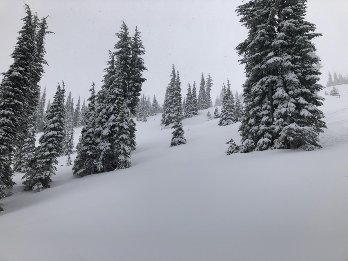
Got out in the storm yesterday (Sunday Dec 13), departing from the South Entrance and approaching through the Ridge Lakes zone. With Low-tide conditions and wind swept ridges, we stuck mostly to north facing slopes in the bowl just south of Peak "8662'". We observed some wind transport on the ridges, so we stuck to the trees between 7600-8400'.
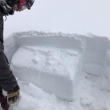
Concerned about facets in the old snow and concerned about the new/old snow interface, we dug a quick pit on a north aspect at about 8000' on a 26 degree slope. We observed a few results: a CT3 at 12 cm down, a CT7 at 15 cm down, and a CT24 at 50 cm down. We also observed an ECTP 9 (see photo) at 15 cm down, with propagation across the entire weak layer, but it did not readily slide under its own weight. This appeared to break just below the interface from the last November storm. Between 15 cm and the ground, it was a mix of crusts and faceting grains.