You are here
Pilgrim Creek / Ash Creek Butte
Location Name:
Ash Creek ButteRegion:
East of Mt ShastaDate and time of observation:
Mon, 03/22/2021 - 1:30pmObservation made by:
ForecasterLocation Map
96067
Mount Shasta
, CA
United States
41° 27' 32.6088" N, 122° 2' 47.9616" W
See map: Google Maps
California US
Weather Observations
Statistics
Cloud Cover:
50% of the sky covered by cloudsBlowing Snow:
NoPrecipitation:
NoneAccumulation rate:
NoneAir temperature:
Below FreezingAir temperature trend:
StaticWind Speed:
Light


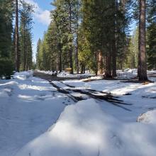
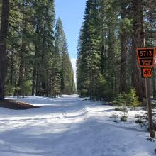
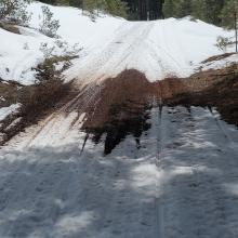
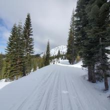
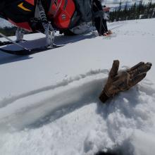
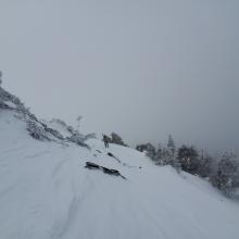

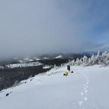
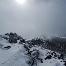
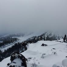
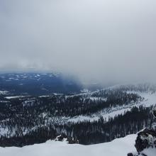

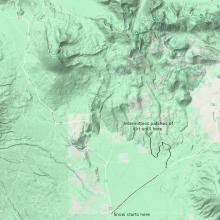


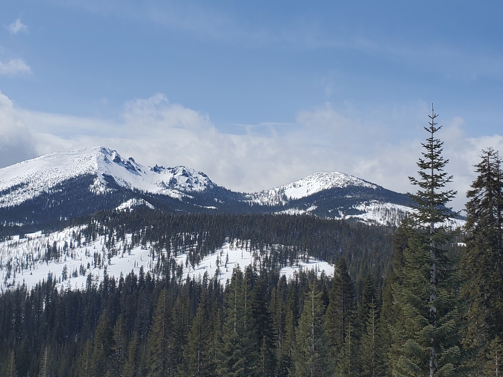
On a tour to inspect the Ash Creek Butte weather stations, we saw a variety of conditions. Snow begins on Pilgrim Creek Road at the snowmobile park. Along Pilgrim Creek and Cramer Springs Road there are intermittent patches of exposed road and dirt for about 7 miles (see map below). The rest of the way out to Ash Creek Butte is covered. Into the bowl, you'll find about 5 inches of settled moist snow from the Thursday/Friday storm sitting atop a firm crust and well bonded to it. About half an inch of snow from last night sits on top and was also being softened by direct sun.
West faces of ridges were icy, firm and scoured. North facing and treed areas still held lower density snow. Generally, the snow was decent for snowmobilers, but a mixed bag for skiers.
Two small wind slabs were easily triggered along a north/south ridge. These were very small and harmless and did not represent overall conditions. Avalanche danger was low.
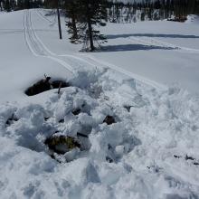
If you are boondocking off-road beware of underlying slash piles. They can give out from under you.
At the location on the map above, the height of snow was 104 in (265 cm).