You are here
Previous wind loading on Gray Butte
Location Name:
Gray ButteRegion:
Mt. ShastaDate and time of observation:
Sun, 01/15/2023 - 2:30pmObservation made by:
ForecasterRed Flags:
Whumphing noises, shooting cracks, or collapsing
Recent loading by new snow, wind, or rain
Location Map
96067
Mount Shasta
, CA
United States
41° 20' 40.2108" N, 122° 11' 47.6592" W
See map: Google Maps
California US
Weather Observations
Statistics
Blowing Snow:
NoPrecipitation:
SnowAccumulation rate:
Less than 1 in. per hourAir temperature:
Below FreezingAir temperature trend:
StaticWind Speed:
CalmWind Direction:
Southwest


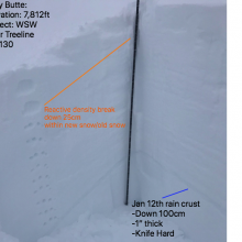
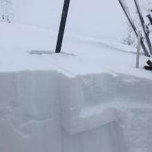
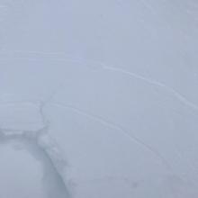
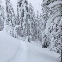
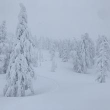


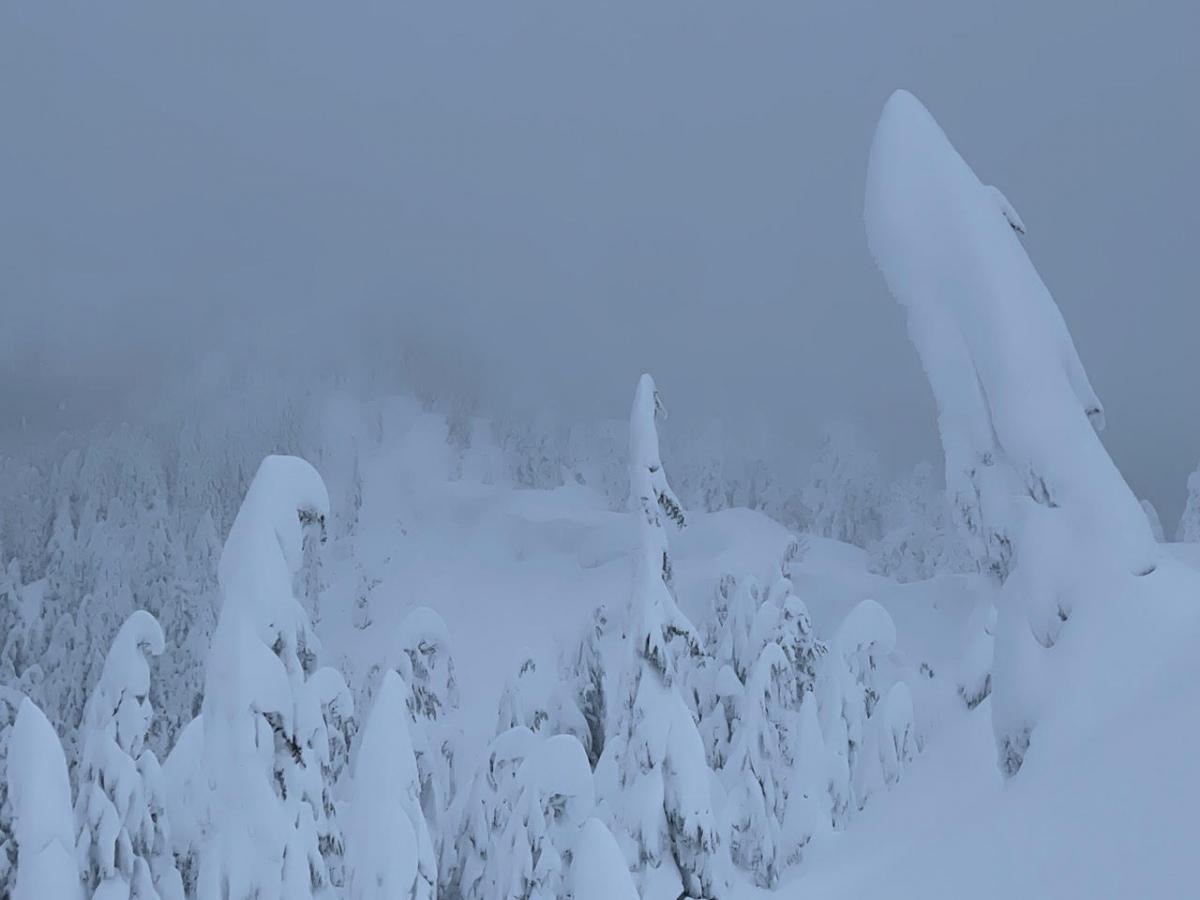
Today’s observation led me to Gray Butte to investigate the aftermath of storm snow and wind effect. Throughout my tour, visibility near treeline remained poor, and the wind was calm from the south and southwest. I observed no new wind transport. Winds have crafted large cornices, and wind drifts along areas of exposed ridgeline. The new snow from January 13th was easy to penetrate, and I initiated minor cracking and blocking instabilities within the new snow, old snow interface. The January 12th rain crust was found 100cm down from the snow surface, inferring my pit location had previously been wind loaded, even though it did not originally appear that way. A compression test highlighted density changes within the last storm and the two beforehand.
CT7-SC-↓25
CT15-SC-↓35
CT24-SC-↓90
ECTX