You are here
Red Flags Flying High on Gray Butte
Location Name:
Gray ButteRegion:
Mt. ShastaDate and time of observation:
Sat, 01/07/2023 - 1:30pmObservation made by:
ForecasterRed Flags:
Whumphing noises, shooting cracks, or collapsing
Recent loading by new snow, wind, or rain
Location Map
96067
Mount Shasta
, CA
United States
41° 20' 57.5196" N, 122° 11' 34.0656" W
See map: Google Maps
California US
Weather Observations
Details
24-hour weather data from Old Ski Bowl and Gray Butte combined, taken at 2230 hours on 1.7.23

Statistics
Cloud Cover:
100% of the sky covered by cloudsBlowing Snow:
YesPrecipitation:
SnowAccumulation rate:
Greater than 1 in. per hourAir temperature:
Below FreezingAir temperature trend:
CoolingWind Speed:
ModerateWind Direction:
Southeast


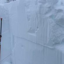

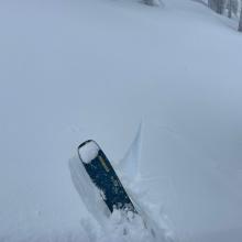
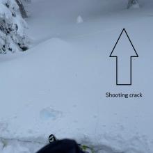
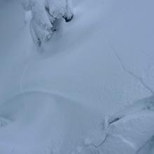
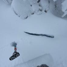
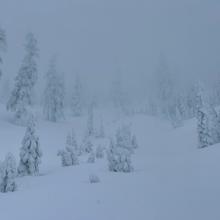
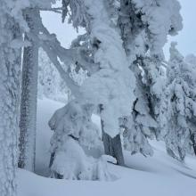
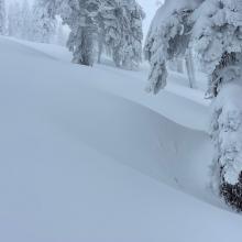


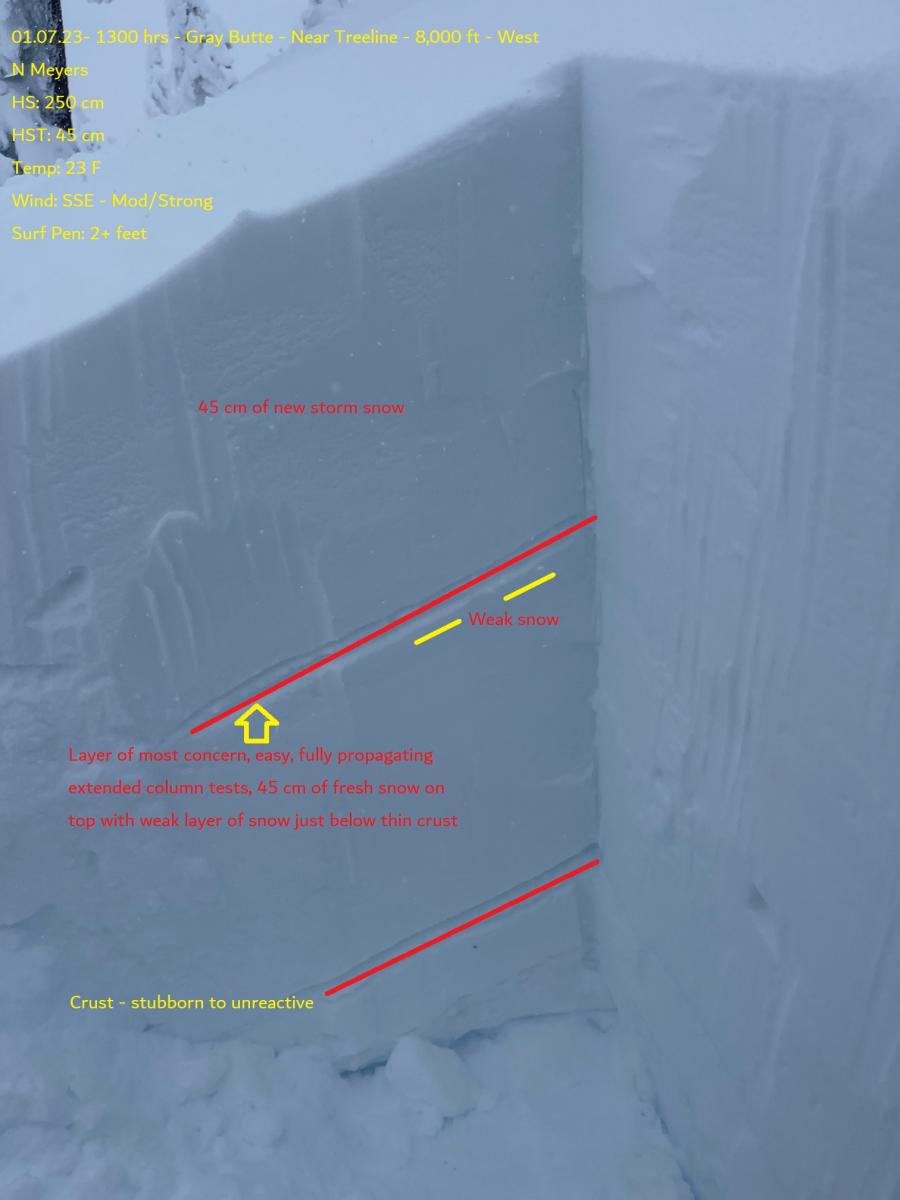
Today was one of those days you can feel the tension in the snowpack. Red flags of avalanche danger were widespread. Storm slabs and wind slabs could be easily ski cut and/or stomped off small, steep test slopes. Southeast wind was actively loading W-NW-N facing slopes. Shooting cracks and blocking in the new snow was frequent. Long cracks 20 feet away would propagate across the fresh snow. New snow accumulation rates were about one inch an hour with about 1.5 feet of fresh storm snow. A pit dug on a west facing aspect at 8,000 feet gave way to unstable stability tests, easily failing and propagating just below a thin crust 45 cm / 17 in from the surface of the snowpack. Other storm layers produced failures as well. Red flags of avalanche danger were in your face. Near whiteout conditions made for very poor visibility. I stayed completely off of and clear of any avalanche terrain, but all the signs of danger were there. Triggering an avalanche in steep terrain was certain.