You are here
Siskiyou mountains near Mt. Ashland in E- NE facing gullies
Location Name:
Siskiyou PeakRegion:
Outside of the Forecast AreaDate and time of observation:
Thu, 12/31/2020 - 1:20pmObservation made by:
PublicRed Flags:
Location Map
96067
Mount Shasta
, CA
United States
42° 3' 49.968" N, 122° 45' 49.392" W
See map: Google Maps
California US
Weather Observations
Details
This area was dominted by a rolling fog throughout the day. Snowpit was at border of bluebird sky - fog line. Siskiyou Peak ocassionally popped out of the fog with clear bluebird sky. A few hours later the entire area was overcast.
Statistics
Cloud Cover:
50% of the sky covered by cloudsBlowing Snow:
NoPrecipitation:
NoneAccumulation rate:
NoneAir temperature:
Below FreezingAir temperature trend:
WarmingWind Speed:
CalmWind Direction:
West


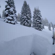
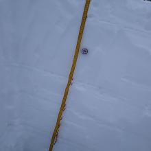
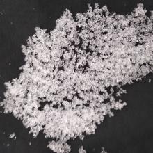
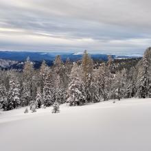


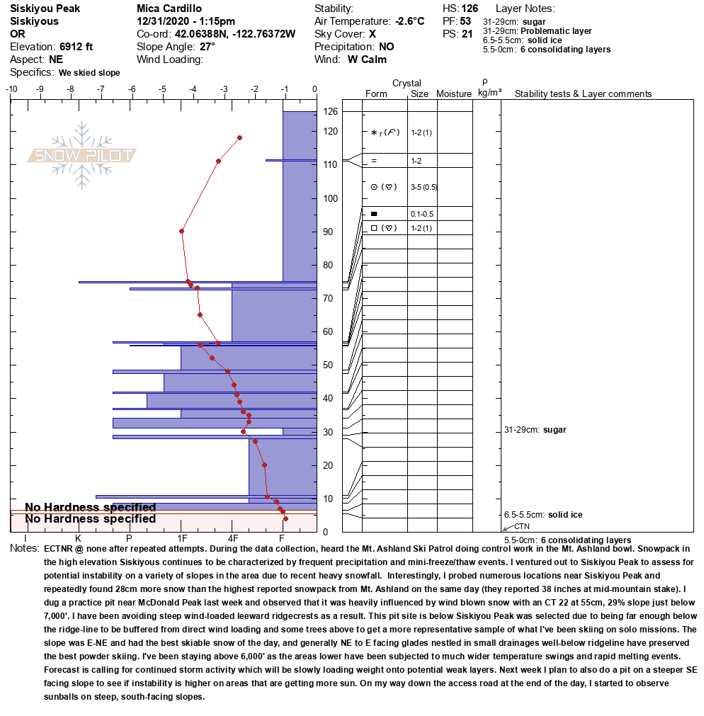
Notes: I had dug a practice pit near McDonald Peak last week and observed that it was heavily influenced by wind blown snow with a CT 22 at 55 cm, 29% slope just below 7,000’. I have been avoiding steep wind-loaded leeward ridgecrests as a result. This pit site below Siskiyou Peak was selected due to being far enough below ridgeline to be buffered from direct wind loading (some trees above) to get a more representative sample of what I’ve been skiing on solo missions. The slope was E - NE and had the best skiing snow of the day. Generally, NE to E facing glades nestled in small drainages well-below ridgeline have preserved the best powder skiing. I’ve been staying above 6,000’ as the areas lower have been subjected to much wider temperature swings and rapid melting events. The forecast is calling for continued storm activity for the next week. On the drive down the access road, I observed sunballs on steep south-facing roadcuts.