You are here
Southside Conditions Update
Location Name:
Avalanche Gulch/Green Butte Ridge/Old Ski BowlRegion:
Mt. ShastaDate and time of observation:
Thu, 01/09/2020 - 2:00pmObservation made by:
ForecasterRed Flags:
Whumphing noises, shooting cracks, or collapsing
Location Map
96067
Mount Shasta
, CA
United States
41° 22' 56.91" N, 122° 12' 26.4528" W
See map: Google Maps
California US
Weather Observations
Statistics
Cloud Cover:
ClearBlowing Snow:
YesPrecipitation:
NoneAccumulation rate:
NoneAir temperature:
Below FreezingAir temperature trend:
WarmingWind Speed:
ModerateWind Direction:
West


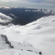


January 9th, 2020 - Southside Conditions Update including Avalanche Gulch, Green Butte Ridge, Old Ski Bowl
1330 to 1530 hours
Meyers
SKY: Clear, low fog/clouds until mid-day
PRECIP: none active, previous yes
BLOWING SNOW: yes
AIR TEMP: 24.5 F
SURF PEN: 10-20 inches
SNOWPACK(HS): 45 - 55 inches
NEW SNOW(HN): 4-7 inches
WIND: Calm below treeline, moderate and gusty near treeline, strong above treeline...westerly in nature, switching to southeast near the noon hour
NOTES:
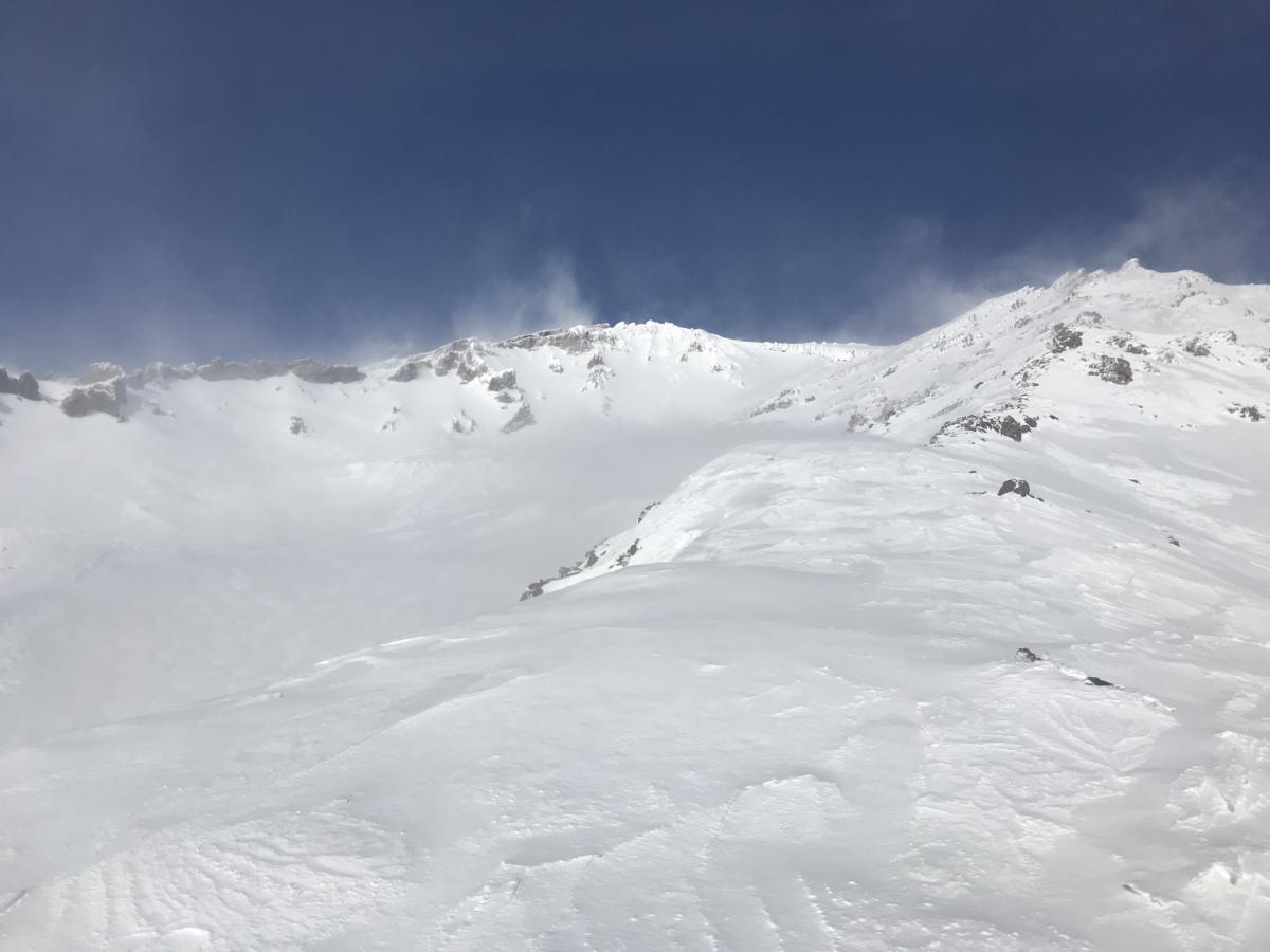
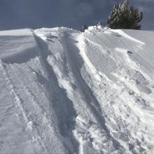
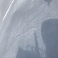
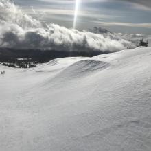
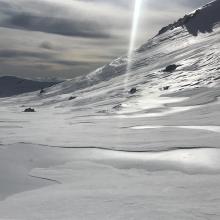
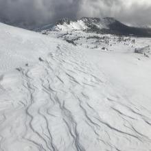
A last minute spurt in this mornings short lived storm brought in a storm total of about 6 inches. Westerly winds were strong and gusty near/above treeline terrain. Most all slopes steeper than 25 degrees (avalanche terrain) was stripped of the low density, new snow. Low angle gullies captured the most snow accumulation. Wind slabs were observed but none on steep enough slopes or size of consequence.
Below Treeline: 4 to 6 inches of low density snow evenly distributed on top of variable crust layers. The 12/19 icy crust less prominent at lower elevations. Wind calm and little to none previous wind affect. No signs of avalanche danger.
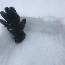
Near Treeline: 5-7 inches of low density new snow. Westerly wind affect becomes noticeable, swithcing to southeast during PM hours. Still somewhat even distribution of new snow in protected areas but some localized windy terrain hosted scouring. Small test slopes produced shooting cracks and small slab failures within top 2 inches of new snow. Low angle gullies and wind eddies behind rocks/trees held hollow wind drifts up to 2 feet deep.
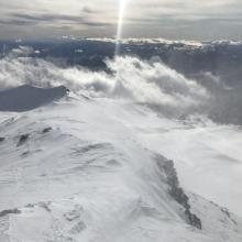
Above Treeline: Windy, primarily out of the west but localized swirling and eddies observed wind out of the south and east as well. All slopes steeper than +/- 25 degrees were scoured and wind stripped down to the 12/19 ice layer. Low angle gullies and leeward areas behind exposed rocks held drifts up to 2 feet deep. No wind loading was observed in avalanche terrain. Smooth, icy surfaces along ridgelines and moraine tops remain. Some shallow buried rocks still exist.